Medium airport · Malaysia

Malacca International AirportWMKM
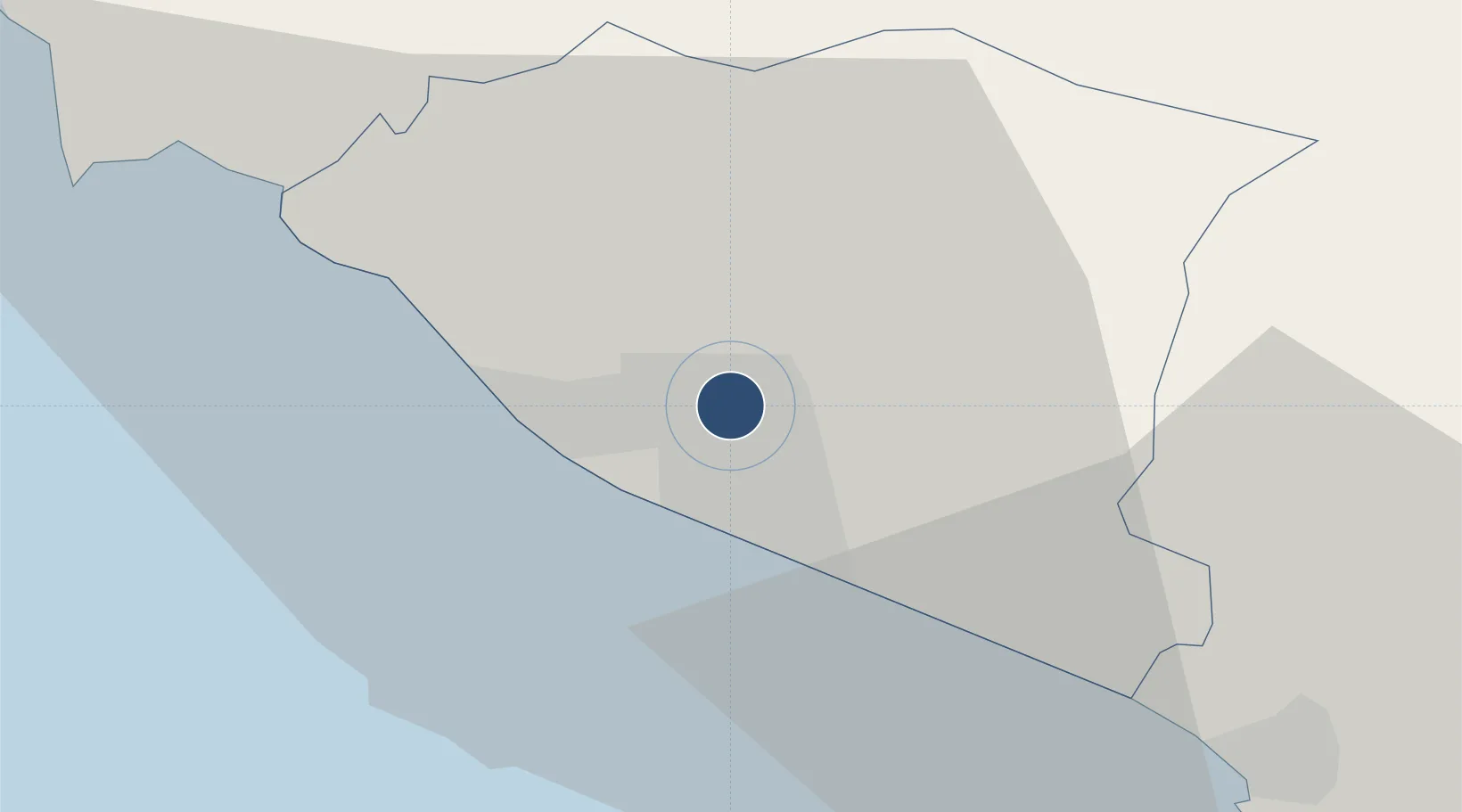
2.2656°, 102.2528°
7,005 ft
Longest runway
1
Runways
35 ft
Elevation

Runway & Layout

Malacca International Airport runway & taxiway layout
Runway & taxiway layout — OpenStreetMap (ODbL) / OurAirports

Radio Frequencies

ATIS
127.45 MHz
TWR
118 MHz
GND
121.6 MHz
OurAirports

Navaids

AM NDB Malacca 298 kHz
MC NDB Malacca 362 kHz
VMK VOR-DME Malacca 117.40 MHz
OurAirports

Runways · 1

RunwayDimensions SurfaceTrue headingLit
03/21 7,005 × 148ft Asphalt 030°
OurAirports

Airport Specifications

IATA code
MKZ
OurAirports
ICAO code
WMKM
OurAirports
Airport class
Medium airport
OurAirports
Scheduled service
Yes
OurAirports
Runway surface
Asphalt
OurAirports
Served city
Malacca
OurAirports

Location

Location of WMKM
Natural Earth 10m (public domain) · Melaka · WMKM · 2.27, 102.25GoogleOSMYandex

Nearby Logistics Neighbours

Airports
  1. 1Kuala Lumpur International Airport81 km
  2. 2Pinang Kampai Airport117 km
  3. 3Kluang Airport120 km
  4. 4Sultan Abdul Aziz Shah International Airport124 km
  5. 5Senai International Airport172 km
Nearest neighbours — logibook spatial index (haversine) over the source coordinates
Cities
  1. 1Alor Gajah13 km
  2. 2Sungai Udang Port13 km
  3. 3Sungai Udang19 km
  4. 4Rembau39 km
  5. 5Senawang58 km
Nearest neighbours — logibook spatial index (haversine) over the source coordinates
Ports
  1. 1Melaka7 km
  2. 2Pelabuhan Sungai Udang13 km
  3. 3Muar42 km
  4. 4Port Dickson60 km
  5. 5Bengkalis90 km
Nearest neighbours — logibook spatial index (haversine) over the source coordinates
Trade Zones
  1. 1Ayer Keroh Business Industrial Park3 km
  2. 2Batu Berendam Free Industrial Zone Phases I,Ii,Iii4 km
  3. 3Tanjung Kling Free Industrial Zone12 km
  4. 4Pedas Halal Park (Miel)41 km
  5. 5Senawang Industrial Park56 km
Nearest neighbours — logibook spatial index (haversine) over the source coordinates
DatabookThe Record of Consolidated Knowledge
Malaysia beyond logistics?
Browse databook

All Sources

AirportsOurAirports
Public domain
Portsthe NGA World Port Index
Public domain (US gov)
LocationsUN/LOCODE
UN/LOCODE — free
Trade Zonesthe World Bank SEZ database
CC BY 4.0
Trade ZonesOpen Zone Map
CC BY
InfrastructureOpenStreetMap
ODbL 1.0
← Malaysia airports