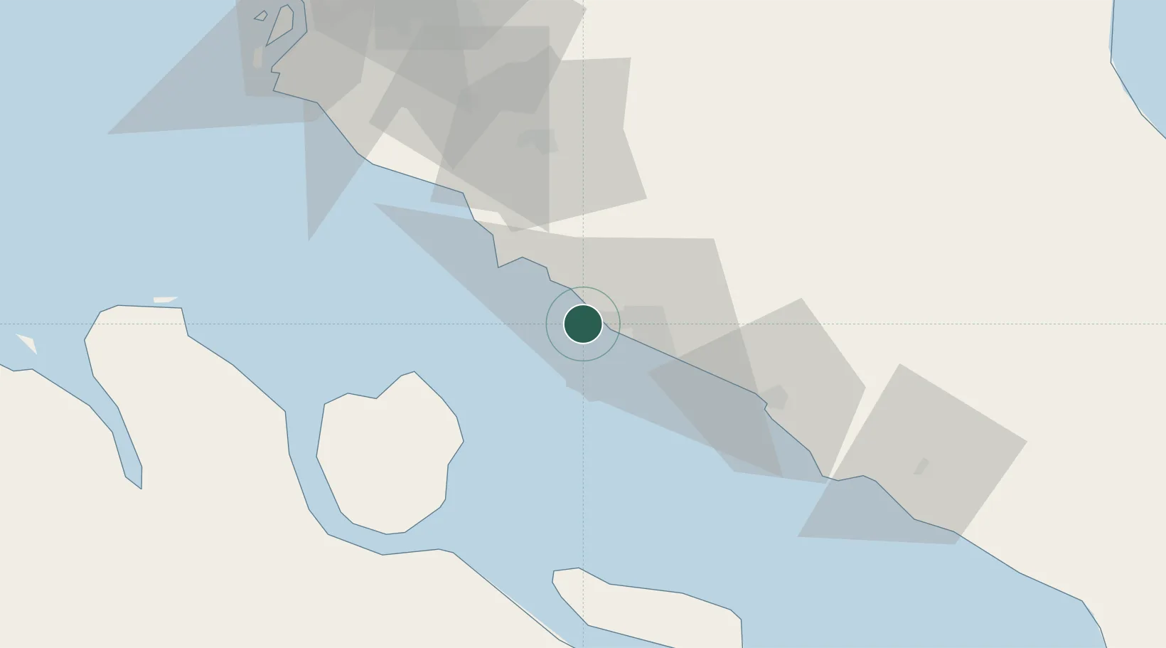
UN/LOCODE hub · Malaysia
MYSGG

Sungai Udang

2.2500°, 102.0833°
26,044
Population
1
Transport functions

Transport Functions

Port
UN/LOCODE

Hub Profile

Place type
Populated place
GeoNames
Region
Melaka
GeoNames
Population
26,044
GeoNames
Time zone
Asia/Kuala_Lumpur
GeoNames
Elevation
31 m
GeoNames

Location

Location of MYSGG
Natural Earth 10m (public domain) · Melaka · MYSGG · 2.25, 102.08GoogleOSMYandex

Nearby Logistics Neighbours

Cities
  1. 1Sungai Udang Port6 km
  2. 2Alor Gajah18 km
  3. 3Rembau37 km
  4. 4Senawang52 km
  5. 5Seremban55 km
Nearest neighbours — logibook spatial index (haversine) over the source coordinates
Ports
  1. 1Pelabuhan Sungai Udang6 km
  2. 2Melaka19 km
  3. 3Port Dickson46 km
  4. 4Muar58 km
  5. 5Bengkalis87 km
Nearest neighbours — logibook spatial index (haversine) over the source coordinates
Airports
  1. 1Malacca International Airport19 km
  2. 2Kuala Lumpur International Airport69 km
  3. 3Pinang Kampai Airport102 km
  4. 4Sultan Abdul Aziz Shah International Airport115 km
  5. 5Kluang Airport138 km
Nearest neighbours — logibook spatial index (haversine) over the source coordinates
Trade Zones
  1. 1Tanjung Kling Free Industrial Zone9 km
  2. 2Batu Berendam Free Industrial Zone Phases I,Ii,Iii17 km
  3. 3Ayer Keroh Business Industrial Park21 km
  4. 4Pedas Halal Park (Miel)35 km
  5. 5Senawang Industrial Park50 km
Nearest neighbours — logibook spatial index (haversine) over the source coordinates
DatabookThe Record of Consolidated Knowledge
Malaysia beyond logistics?
Browse databook

All Sources

LocationsUN/LOCODE
UN/LOCODE — free
LocationsGeoNames
CC BY 4.0
Portsthe NGA World Port Index
Public domain (US gov)
AirportsOurAirports
Public domain
Trade Zonesthe World Bank SEZ database
CC BY 4.0
Trade ZonesOpen Zone Map
CC BY
← Malaysia locations