Diversified Zone · Indonesia

Panbil Industrial Estate Active

1.0746°, 104.0248°
200 ha
Zone area
13.7 km
Nearest port
11.7 km
Nearest airport

Gateway access

Nearest neighbours — logibook spatial index (haversine) over the source coordinates

Zone profile

Zone type
Diversified Zone
Open Zone Map
Region
Kepulauan Riau
Open Zone Map
Status
Active
Open Zone Map
Management
Public-Private Partnership
Open Zone Map
Operator
PT Nusatama Properta Panbil
Open Zone Map
Legal framework
The Law No 3. Article 106, issued in 2014
Open Zone Map

Location

Location of ozm-2354
Natural Earth 10m (public domain) · Kepulauan Riau · ozm-2354 · 1.07, 104.02GoogleOSMYandex

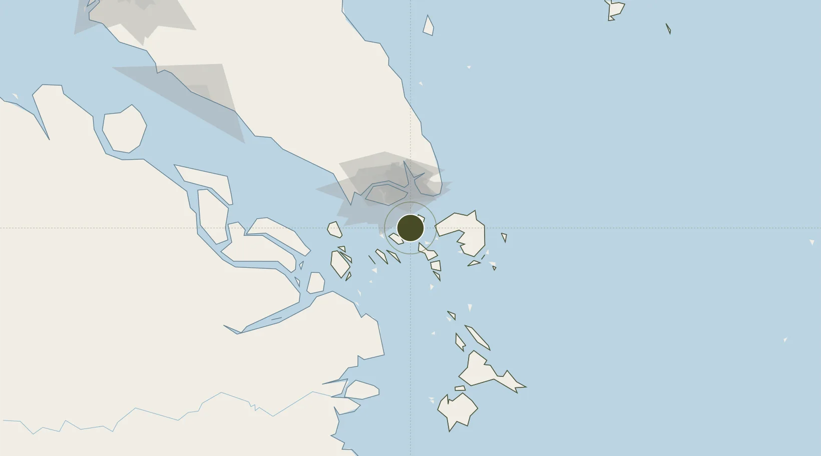
Nearby Logistics Neighbours

Ports
  1. 1Sekupang14 km
  2. 2Pulau Sambu17 km
  3. 3Tanjunguban21 km
  4. 4Pulau Sebarok29 km
  5. 5Keppel - (East Singapore)30 km
Nearest neighbours — logibook spatial index (haversine) over the source coordinates
Airports
  1. 1Hang Nadim International Airport12 km
  2. 2Changi Air Base (East)30 km
  3. 3Singapore Changi Airport31 km
  4. 4Paya Lebar Air Base34 km
  5. 5Seletar Airport42 km
Nearest neighbours — logibook spatial index (haversine) over the source coordinates
Cities
  1. 1Batam Island9 km
  2. 2Sekupang12 km
  3. 3Batu Ampar12 km
  4. 4Tanjunguban23 km
  5. 5Changi27 km
Nearest neighbours — logibook spatial index (haversine) over the source coordinates
Trade Zones
  1. 1Batamindo Industrial Park2 km
  2. 2Citra Buana Centre Park III4 km
  3. 3Cammo Industrial Park5 km
  4. 4Puri Industrial Park 20006 km
  5. 5Sarana Industrial Point6 km
Nearest neighbours — logibook spatial index (haversine) over the source coordinates
DatabookThe Record of Consolidated Knowledge
Indonesia beyond logistics?
Browse databook

All Sources

Trade ZonesOpen Zone Map
CC BY
Portsthe NGA World Port Index
Public domain (US gov)
AirportsOurAirports
Public domain
LocationsUN/LOCODE
UN/LOCODE — free
← Indonesia trade zones