Transport Functions
Port
Road
Hub Profile
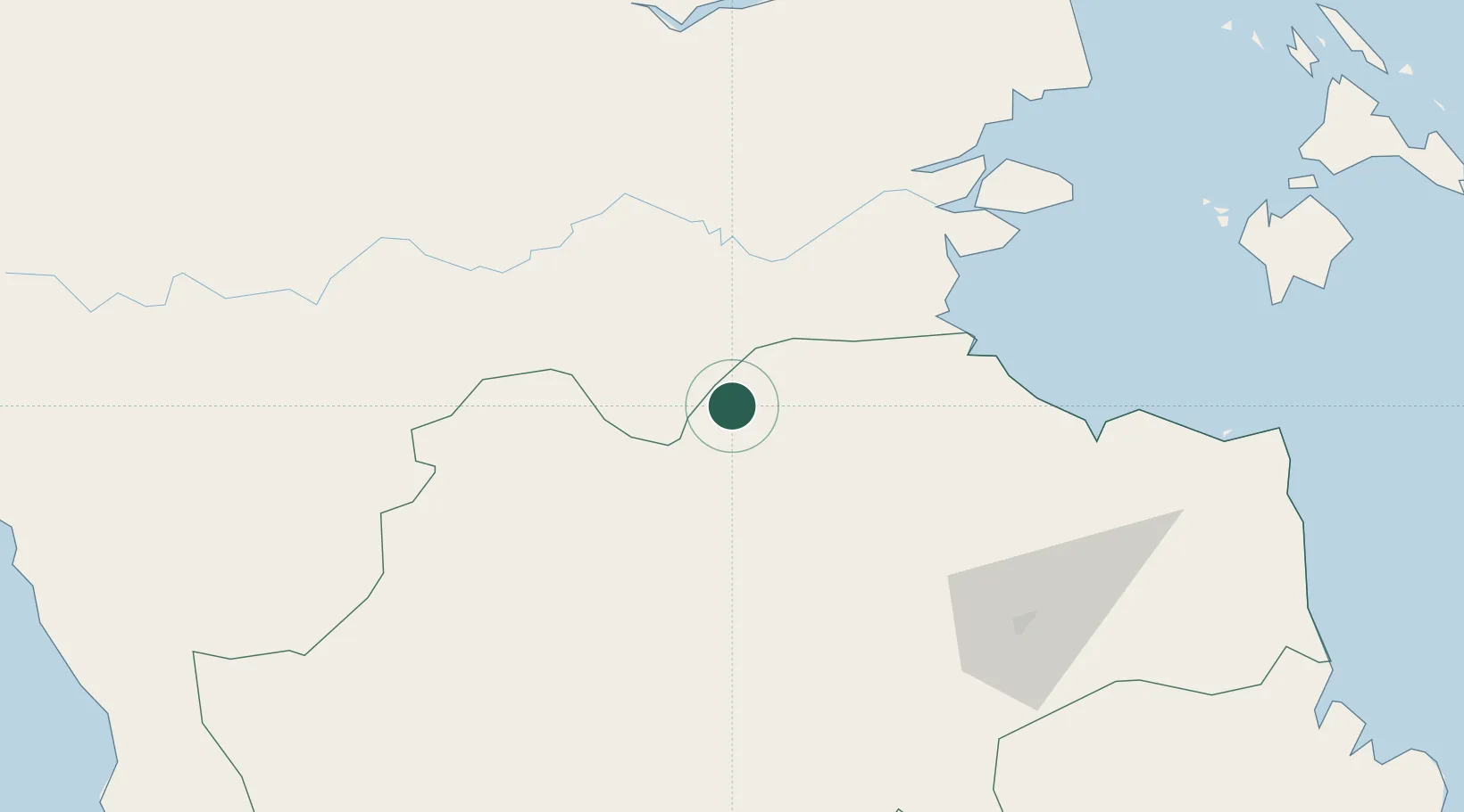
Place type
Populated place
Region
Riau
Time zone
Asia/Jakarta
Elevation
49 m
Location
Nearby Logistics Neighbours
Cities
- 1Muarabungo88 km
- 2Kuala Enok88 km
- 3Kampung Laut119 km
- 4Jambi, Sumatra123 km
- 5Muara Sabak133 km
Ports
- 1Jabung Batanghari Marine Terminal148 km
- 2Dabo210 km
- 3Tanjung Balai Karimun230 km
- 4Lalang Marine Terminal246 km
- 5Teluk Bayur263 km
Airports
Trade Zones
- 1Karimun Free Trade Zone200 km
- 2Latrade Industrial Park261 km
- 3Batamindo Industrial Park267 km
- 4West Point Maritime Industrial Park268 km
- 5Panbil Industrial Estate269 km
DatabookThe Record of Consolidated Knowledge
Indonesia beyond logistics?