Transport Functions
Multimodal
Hub Profile
Place type
Provincial seat
Region
Yogyakarta
Population
64,360
Time zone
Asia/Jakarta
Elevation
49 m
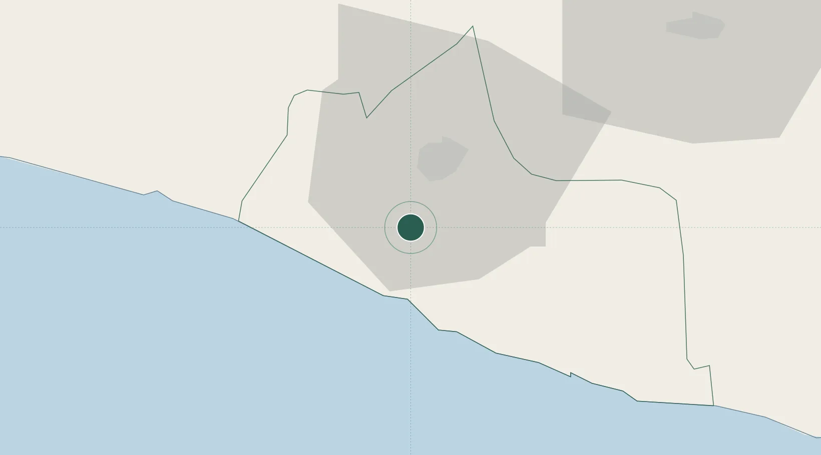
Location
Nearby Logistics Neighbours
Cities
- 1Jogja Inland Port6 km
- 2Yogyakarta12 km
- 3Krapyak20 km
- 4Klaten35 km
- 5Sukoharjo60 km
Ports
- 1Semarang106 km
- 2Pekalongan136 km
- 3Cilacap148 km
- 4Rembang174 km
- 5Tegal177 km
Airports
Trade Zones
DatabookThe Record of Consolidated Knowledge
Indonesia beyond logistics?