UN/LOCODE hub · Indonesia
IDJIP

Jogja Inland Port

-7.9000°, 110.3833°
2
Transport functions

Transport Functions

Port
Multimodal
UN/LOCODE

Hub Profile

Region
YO
GeoNames

Location

Location of IDJIP
Natural Earth 10m (public domain) · YO · IDJIP · -7.90, 110.38GoogleOSMYandex

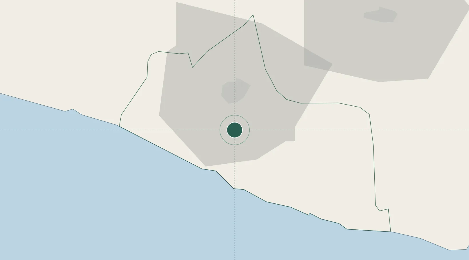
Nearby Logistics Neighbours

Cities
  1. 1Bantul6 km
  2. 2Yogyakarta11 km
  3. 3Krapyak19 km
  4. 4Klaten31 km
  5. 5Sukoharjo55 km
Nearest neighbours — logibook spatial index (haversine) over the source coordinates
Ports
  1. 1Semarang106 km
  2. 2Pekalongan139 km
  3. 3Cilacap154 km
  4. 4Rembang171 km
  5. 5Tegal181 km
Nearest neighbours — logibook spatial index (haversine) over the source coordinates
Airports
  1. 1Adisutjipto International Airport14 km
  2. 2Yogyakarta International Airport36 km
  3. 3Adisumarmo Airport59 km
  4. 4Jenderal Ahmad Yani Airport103 km
  5. 5Tunggul Wulung Airport151 km
Nearest neighbours — logibook spatial index (haversine) over the source coordinates
Trade Zones
  1. 1Bukit Semarang Baru Industrial Park96 km
  2. 2Wijayakusuma Industrial Estate103 km
  3. 3Candi Industrial Estate104 km
  4. 4Terboyo Industrial Estate106 km
  5. 5Tanjung Emas Export Processing Zone106 km
Nearest neighbours — logibook spatial index (haversine) over the source coordinates
DatabookThe Record of Consolidated Knowledge
Indonesia beyond logistics?
Browse databook

All Sources

LocationsUN/LOCODE
UN/LOCODE — free
Portsthe NGA World Port Index
Public domain (US gov)
AirportsOurAirports
Public domain
Trade Zonesthe World Bank SEZ database
CC BY 4.0
Trade ZonesOpen Zone Map
CC BY
← Indonesia locations