Small airport · Indonesia

Kirimu AirstripID-0210

-4.4648°, 140.3930°
6,400 ft
Elevation

Runway & Layout

Kirimu Airstrip runway & taxiway layout
Runway & taxiway layout — OpenStreetMap (ODbL) / OurAirports

Airport Specifications

Airport class
Small airport
OurAirports
Scheduled service
Yes
OurAirports
Served city
Pegunungan Bintang Regency
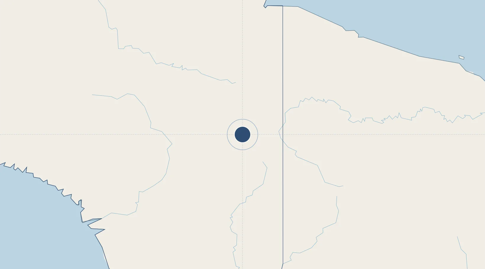
OurAirports

Location

Location of ID-0210
Natural Earth 10m (public domain) · Papua · ID-0210 · -4.46, 140.39GoogleOSMYandex

Nearby Logistics Neighbours

Airports
  1. 1Bordamban Airport11 km
  2. 2Pedam Airstrip11 km
  3. 3Dumpasik Airstrip13 km
  4. 4Okbab Airstrip18 km
  5. 5Maksum Airstrip19 km
Nearest neighbours — logibook spatial index (haversine) over the source coordinates
Cities
  1. 1Jayapura, Irian Jaya216 km
  2. 2Demta239 km
  3. 3Asike243 km
  4. 4Kassue309 km
  5. 5Yentchan319 km
Nearest neighbours — logibook spatial index (haversine) over the source coordinates
Ports
  1. 1Vanimo214 km
  2. 2Wewak Harbor373 km
  3. 3Amamapare382 km
  4. 4Merauke447 km
  5. 5Daru598 km
Nearest neighbours — logibook spatial index (haversine) over the source coordinates
Trade Zones
  1. 1Sandaun Special Economic Zone80 km
  2. 2Sepik Special Economic Zone145 km
  3. 3Vanimo Special Economic Zone221 km
  4. 4Western Province Special Economic Zone274 km
  5. 5Manus Special Economic Zone442 km
Nearest neighbours — logibook spatial index (haversine) over the source coordinates
DatabookThe Record of Consolidated Knowledge
Indonesia beyond logistics?
Browse databook

All Sources

AirportsOurAirports
Public domain
Portsthe NGA World Port Index
Public domain (US gov)
LocationsUN/LOCODE
UN/LOCODE — free
Trade Zonesthe World Bank SEZ database
CC BY 4.0
Trade ZonesOpen Zone Map
CC BY
InfrastructureOpenStreetMap
ODbL 1.0
← Indonesia airports