Transport Functions
Multimodal
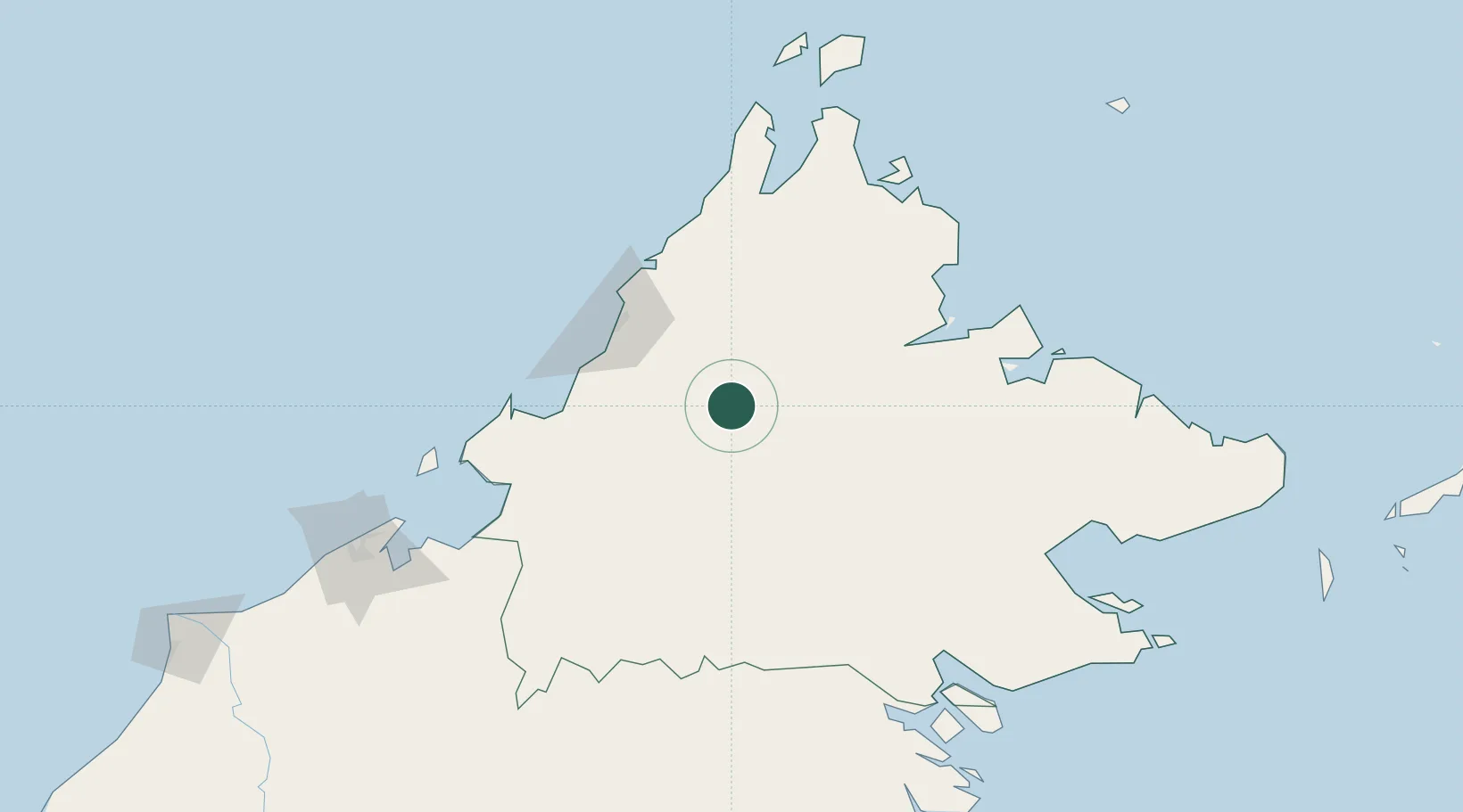
Hub Profile
Place type
Populated place
Region
Sabah
Time zone
Asia/Kuching
Elevation
851 m
Location
Nearby Logistics Neighbours
Cities
- 1Kota Kinabalu, Sabah79 km
- 2Kimanis, Sabah83 km
- 3Kota Belud, Sabah89 km
- 4Batu Batu, Sabah99 km
- 5Kota Marudu103 km
Ports
- 1Kota Kinabalu78 km
- 2Kudat146 km
- 3Pelabuhan Sandakan165 km
- 4Muara Harbor186 km
- 5Lahad Datu195 km
Airports
- 1Kota Kinabalu International Airport77 km
- 2Kudat Airport151 km
- 3Labuan Airport158 km
- 4Sandakan Airport160 km
- 5Lawas Airport160 km
Trade Zones
- 1Sabah Development Corridor75 km
- 2Labuan Offshore Financial Centre159 km
- 3Muara Export Zone185 km
- 4Terunjing Free Trade Zone185 km
- 5Mas Cargo Free Zone, Penang327 km
DatabookThe Record of Consolidated Knowledge
Malaysia beyond logistics?