UN/LOCODE hub · Croatia
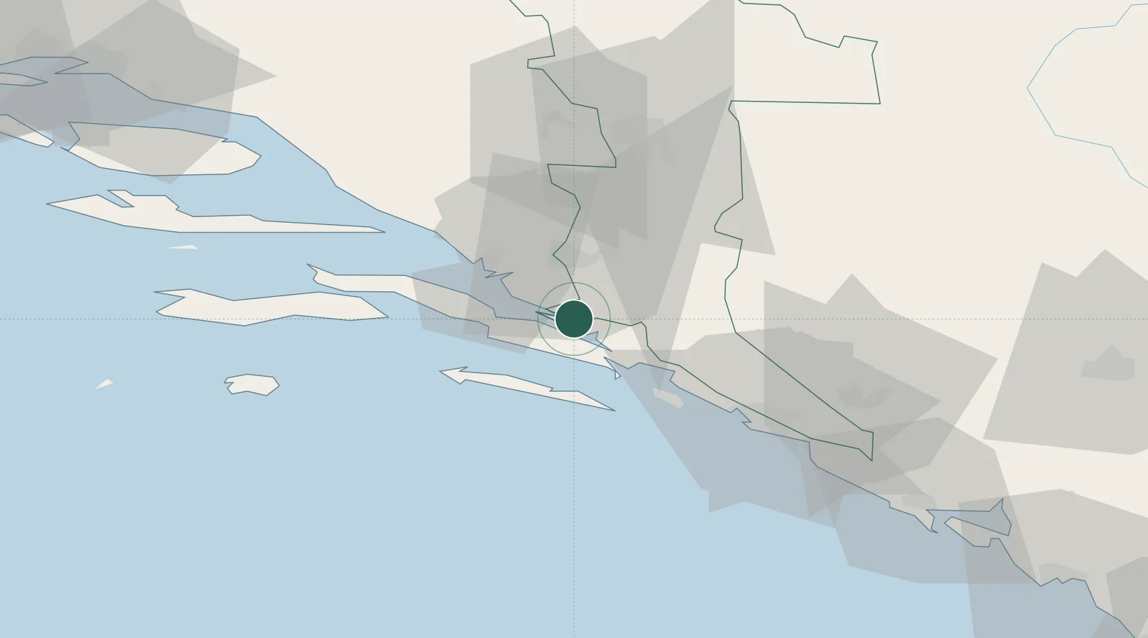
HRPLE

Ploce

42.9174°, 17.6491°
4,711
Population
3
Transport functions
1
Container terminals

Transport Functions

Port
Rail
Road
Ploce is also a profiled seaport →
UN/LOCODE

Hub Profile

Place type
Provincial seat
GeoNames
Region
Dubrovnik-Neretva
GeoNames
Population
4,711
GeoNames
Time zone
Europe/Zagreb
GeoNames
Elevation
10 m
GeoNames
Logistics facilities
3
UN/LOCODE
Container terminals
1
UN/LOCODE

Location

Location of HRPLE
Natural Earth 10m (public domain) · Dubrovnik-Neretva · HRPLE · 42.92, 17.65GoogleOSMYandex

Nearby Logistics Neighbours

Cities
  1. 1Neum3 km
  2. 2Klek8 km
  3. 3Ston10 km
  4. 4Prapratno12 km
  5. 5Metkovic15 km
Nearest neighbours — logibook spatial index (haversine) over the source coordinates
Ports
  1. 1Neum4 km
  2. 2Korcula42 km
  3. 3Dubrovnik45 km
  4. 4Risan97 km
  5. 5Dugi Rat100 km
Nearest neighbours — logibook spatial index (haversine) over the source coordinates
Airports
  1. 1Mostar International Airport44 km
  2. 2Dubrovnik Ruđer Bošković Airport64 km
  3. 3Brač Airport89 km
  4. 4Tivat Airport105 km
  5. 5Sarajevo International Airport115 km
Nearest neighbours — logibook spatial index (haversine) over the source coordinates
Trade Zones
  1. 1Port of Ploče Free Zone23 km
  2. 2Free Zone Hercegovina45 km
  3. 3Port of Kotor Free Zone107 km
  4. 4Split-Dalmatia Free Zone117 km
  5. 5Port of Split Free Zone119 km
Nearest neighbours — logibook spatial index (haversine) over the source coordinates
DatabookThe Record of Consolidated Knowledge
Croatia beyond logistics?
Browse databook

All Sources

LocationsUN/LOCODE
UN/LOCODE — free
LocationsGeoNames
CC BY 4.0
Portsthe NGA World Port Index
Public domain (US gov)
AirportsOurAirports
Public domain
Trade Zonesthe World Bank SEZ database
CC BY 4.0
Trade ZonesOpen Zone Map
CC BY
← Croatia locations