UN/LOCODE hub · Bosnia & Herzegovina
BANEM
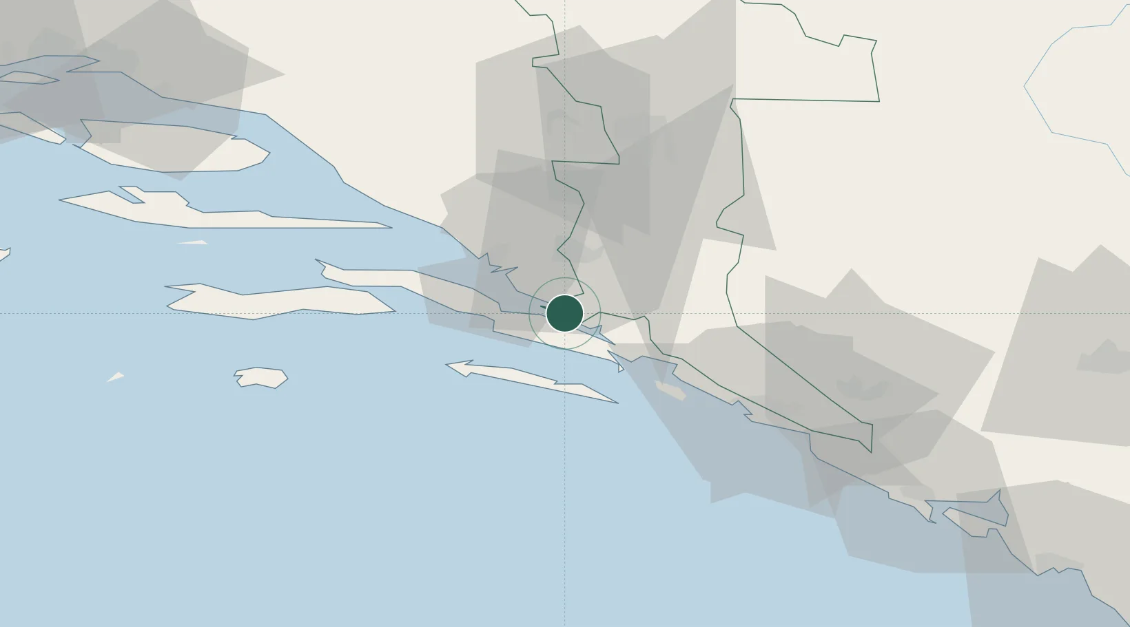
Neum
42.9167°, 17.6167°
4,200
Population
2
Transport functions
Transport Functions
Port
Multimodal
Hub Profile
Place type
District seat
Region
Federation of B&H
Population
4,200
Time zone
Europe/Sarajevo
Elevation
70 m
Location
Nearby Logistics Neighbours
Airports
- 1Mostar International Airport45 km
- 2Dubrovnik Ruđer Bošković Airport66 km
- 3Brač Airport87 km
- 4Tivat Airport107 km
- 5Sarajevo International Airport116 km
Trade Zones
- 1Port of Ploče Free Zone21 km
- 2Free Zone Hercegovina46 km
- 3Port of Kotor Free Zone109 km
- 4Split-Dalmatia Free Zone115 km
- 5Port of Split Free Zone117 km
DatabookThe Record of Consolidated Knowledge
Bosnia & Herzegovina beyond logistics?