Large airport · Croatia

Dubrovnik Ruđer Bošković AirportLDDU
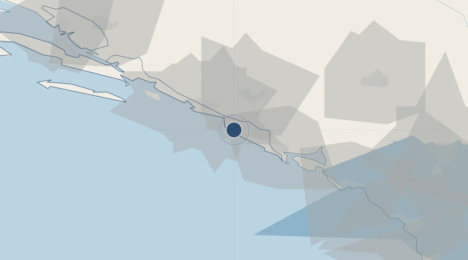
42.5622°, 18.2655°
10,597 ft
Longest runway
1
Runways
527 ft
Elevation

Runway & Layout

Dubrovnik Ruđer Bošković Airport runway & taxiway layout
Runway & taxiway layout — OpenStreetMap (ODbL) / OurAirports

Radio Frequencies

TWR
129.5 MHz
APP
123.6 MHz
OurAirports

Navaids

CV NDB Dubrovnik 397 kHz
DBK VOR-DME Dubrovnik 115.40 MHz
GR NDB Dubrovnik 414 kHz
KLP NDB Kolocep 318 kHz
OurAirports

Runways · 1

RunwayDimensions SurfaceTrue headingLit
11/29 10,597 × 148ft Asphalt 118°
OurAirports

Airport Specifications

IATA code
DBV
OurAirports
ICAO code
LDDU
OurAirports
Airport class
Large airport
OurAirports
Scheduled service
Yes
OurAirports
Runway surface
Asphalt
OurAirports
Served city
Dubrovnik
OurAirports

Location

Location of LDDU
Natural Earth 10m (public domain) · Dubrovacko-Neretvanska · LDDU · 42.56, 18.27GoogleOSMYandex

Nearby Logistics Neighbours

Airports
  1. 1Tivat Airport41 km
  2. 2Podgorica Airport / Podgorica Golubovci Airbase84 km
  3. 3Mostar International Airport87 km
  4. 4Sarajevo International Airport141 km
  5. 5Brač Airport152 km
Nearest neighbours — logibook spatial index (haversine) over the source coordinates
Cities
  1. 1Cavtat4 km
  2. 2Lokrum12 km
  3. 3Dubrovnik18 km
  4. 4Sustjepan18 km
  5. 5Igalo23 km
Nearest neighbours — logibook spatial index (haversine) over the source coordinates
Ports
  1. 1Dubrovnik19 km
  2. 2Risan36 km
  3. 3Tivat38 km
  4. 4Kotor44 km
  5. 5Neum67 km
Nearest neighbours — logibook spatial index (haversine) over the source coordinates
Trade Zones
  1. 1Port of Kotor Free Zone44 km
  2. 2Free Zone Novi Duvanski Kombinat Podgorica81 km
  3. 3Port of Bar Free Zone86 km
  4. 4Port of Ploče Free Zone87 km
  5. 5Free Zone Hercegovina91 km
Nearest neighbours — logibook spatial index (haversine) over the source coordinates
DatabookThe Record of Consolidated Knowledge
Croatia beyond logistics?
Browse databook

All Sources

AirportsOurAirports
Public domain
Portsthe NGA World Port Index
Public domain (US gov)
LocationsUN/LOCODE
UN/LOCODE — free
Trade Zonesthe World Bank SEZ database
CC BY 4.0
Trade ZonesOpen Zone Map
CC BY
InfrastructureOpenStreetMap
ODbL 1.0
← Croatia airports