Export Processing Zone · Croatia
Split-Dalmatia Free Zone Inactive
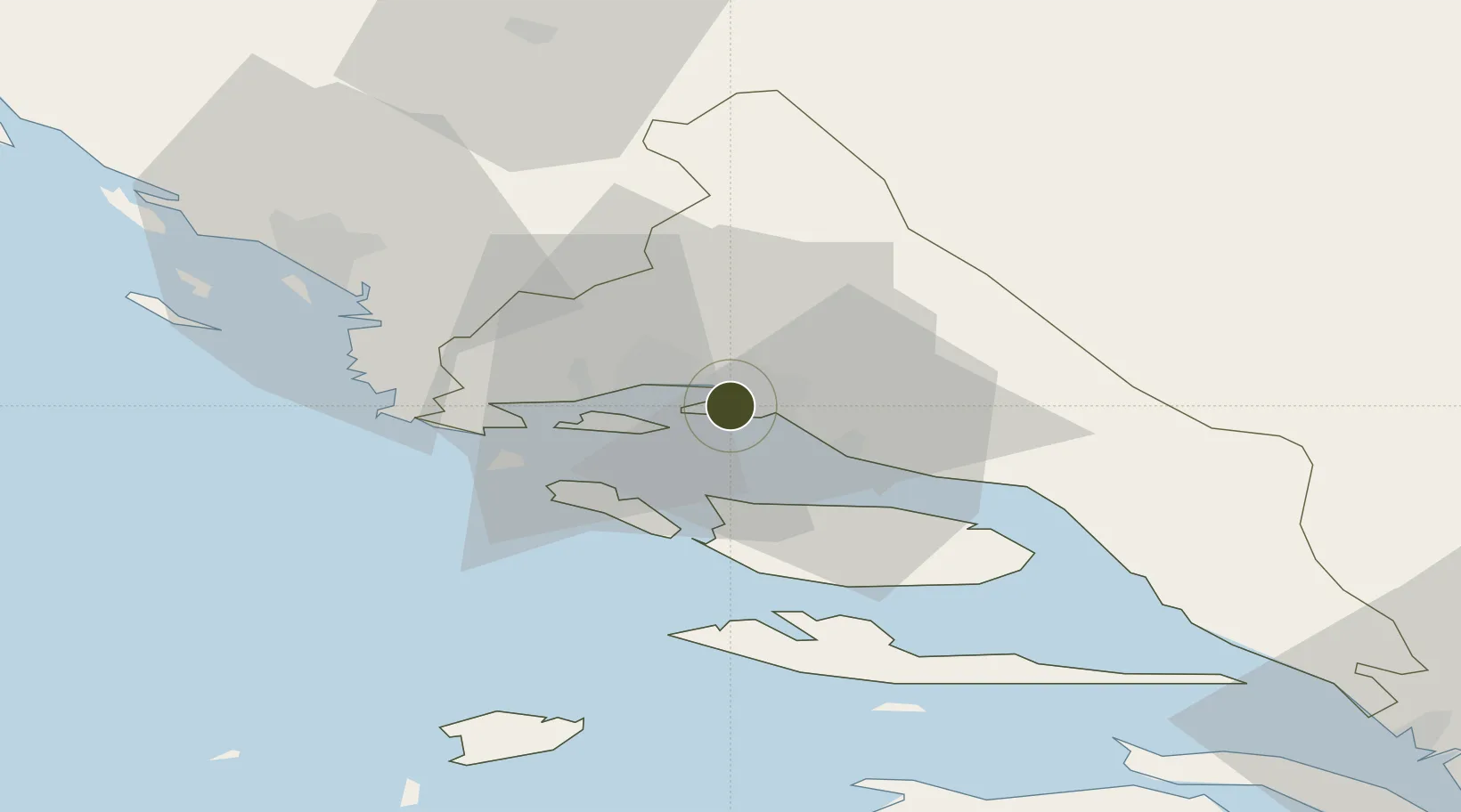
43.5206°, 16.4610°
210 ha
Zone area
3.2 km
Nearest port
13.3 km
Nearest airport
Gateway access
Zone profile
Zone type
Export Processing Zone
Region
Splitsko-Dalmatinska
Status
Inactive
Management
Public-Private Partnership
Operator
Splitsko-Dalmatinska Zona D.O.O.
Legal framework
Free Zones Act (Official Gazette 44/96, 92/05, 85/08), Regulation (EU) No 952/2013 of the European Parliament and of the Council of 9 October 2013 laying down the Union Customs Code (recast)
Location
Nearby Logistics Neighbours
Airports
- 1Split Saint Jerome Airport13 km
- 2Brač Airport32 km
- 3Zadar Airport110 km
- 4Mostar International Airport115 km
- 5Udbina Airfield128 km
Cities
- 1Vranjic2 km
- 2Sveti Kajo2 km
- 3Solin5 km
- 4Sucurac5 km
- 5Stobrec5 km
Trade Zones
- 1Port of Split Free Zone3 km
- 2Port of Ploče Free Zone95 km
- 3Free Zone Hercegovina111 km
- 4Free Zone Visoko147 km
- 5Free Zone Vogošća159 km
DatabookThe Record of Consolidated Knowledge
Croatia beyond logistics?