UN/LOCODE hub · Croatia
HRSTO

Ston

42.8333°, 17.7000°
500
Population
2
Transport functions

Transport Functions

Port
Road
UN/LOCODE

Hub Profile

Place type
Provincial seat
GeoNames
Region
Dubrovnik-Neretva
GeoNames
Population
500
GeoNames
Time zone
Europe/Zagreb
GeoNames
Elevation
4 m
GeoNames

Location

Location of HRSTO
Natural Earth 10m (public domain) · Dubrovnik-Neretva · HRSTO · 42.83, 17.70GoogleOSMYandex

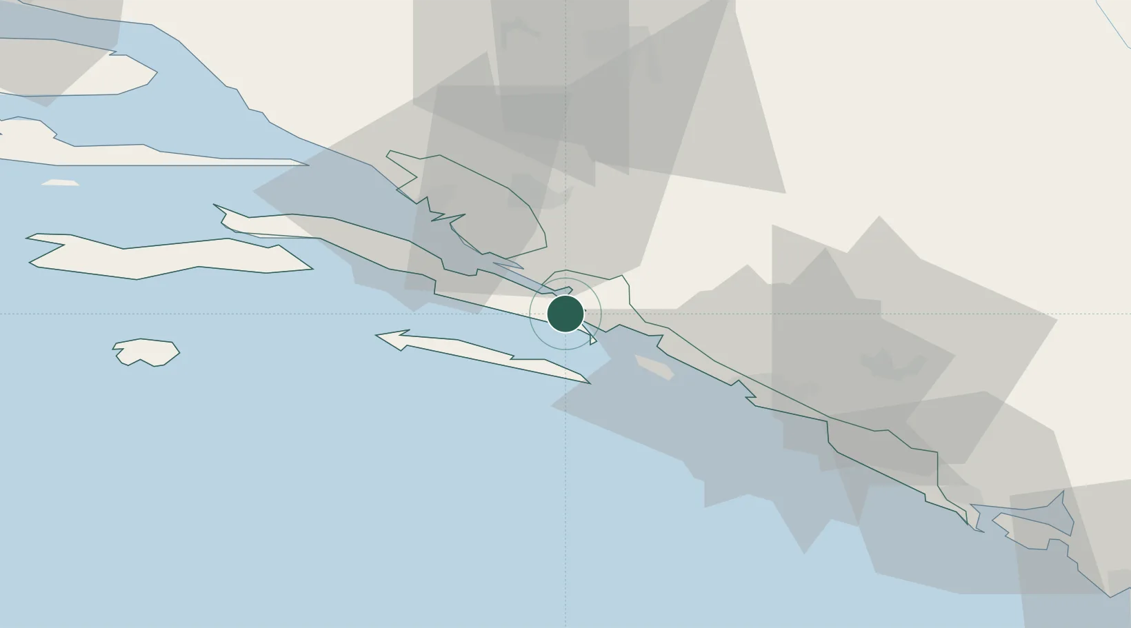
Nearby Logistics Neighbours

Cities
  1. 1Prapratno2 km
  2. 2Ploce10 km
  3. 3Neum12 km
  4. 4Sobra12 km
  5. 5Klek17 km
Nearest neighbours — logibook spatial index (haversine) over the source coordinates
Ports
  1. 1Neum12 km
  2. 2Ploce32 km
  3. 3Dubrovnik36 km
  4. 4Korcula48 km
  5. 5Risan89 km
Nearest neighbours — logibook spatial index (haversine) over the source coordinates
Airports
  1. 1Mostar International Airport51 km
  2. 2Dubrovnik Ruđer Bošković Airport55 km
  3. 3Tivat Airport96 km
  4. 4Brač Airport97 km
  5. 5Sarajevo International Airport122 km
Nearest neighbours — logibook spatial index (haversine) over the source coordinates
Trade Zones
  1. 1Port of Ploče Free Zone32 km
  2. 2Free Zone Hercegovina54 km
  3. 3Port of Kotor Free Zone98 km
  4. 4Split-Dalmatia Free Zone126 km
  5. 5Port of Split Free Zone128 km
Nearest neighbours — logibook spatial index (haversine) over the source coordinates
DatabookThe Record of Consolidated Knowledge
Croatia beyond logistics?
Browse databook

All Sources

LocationsUN/LOCODE
UN/LOCODE — free
LocationsGeoNames
CC BY 4.0
Portsthe NGA World Port Index
Public domain (US gov)
AirportsOurAirports
Public domain
Trade Zonesthe World Bank SEZ database
CC BY 4.0
Trade ZonesOpen Zone Map
CC BY
← Croatia locations