Transport Functions
Port
Road
Hub Profile
Place type
Populated place
Region
Dubrovnik-Neretva
Population
177
Time zone
Europe/Zagreb
Elevation
6 m
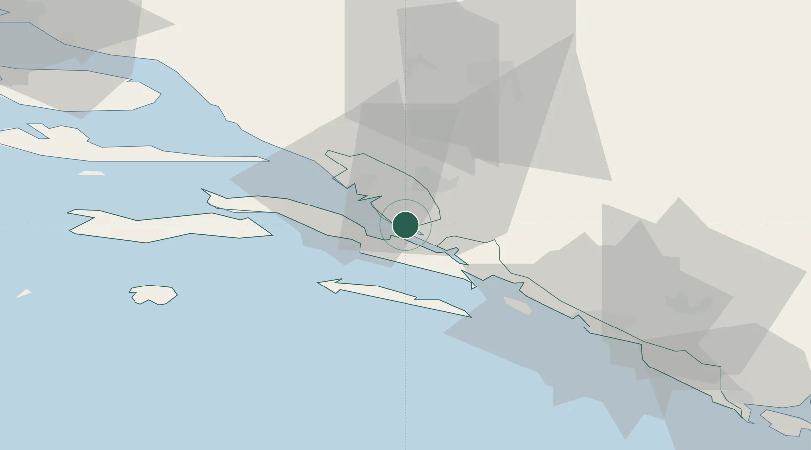
Location
Nearby Logistics Neighbours
Airports
- 1Mostar International Airport43 km
- 2Dubrovnik Ruđer Bošković Airport72 km
- 3Brač Airport81 km
- 4Tivat Airport112 km
- 5Sarajevo International Airport115 km
Trade Zones
- 1Port of Ploče Free Zone15 km
- 2Free Zone Hercegovina44 km
- 3Split-Dalmatia Free Zone110 km
- 4Port of Split Free Zone112 km
- 5Port of Kotor Free Zone114 km
DatabookThe Record of Consolidated Knowledge
Croatia beyond logistics?