Export Processing Zone · Croatia
Port of Split Free Zone Active
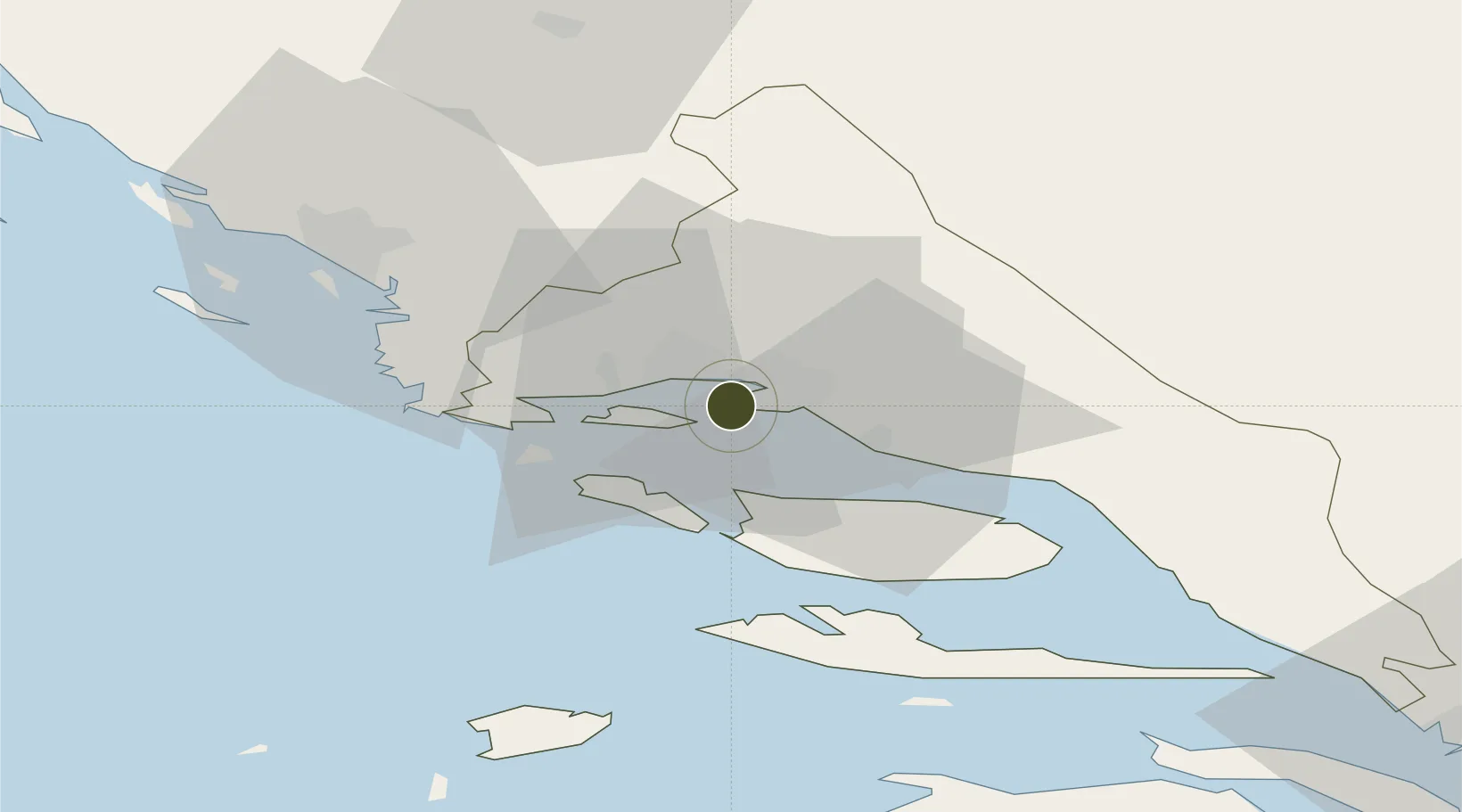
43.5126°, 16.4228°
26 ha
Zone area
1.6 km
Nearest port
10.5 km
Nearest airport
Gateway access
Zone profile
Zone type
Export Processing Zone
Region
Splitsko-Dalmatinska
Status
Active
Management
Public
Operator
Lucka Uprava Split
Legal framework
Free Zones Act (Official Gazette 44/96, 92/05, 85/08), Regulation (EU) No 952/2013 of the European Parliament and of the Council of 9 October 2013 laying down the Union Customs Code (recast)
Location
Nearby Logistics Neighbours
Airports
- 1Split Saint Jerome Airport11 km
- 2Brač Airport33 km
- 3Zadar Airport108 km
- 4Mostar International Airport118 km
- 5Udbina Airfield127 km
Cities
- 1Sveti Kajo3 km
- 2Sucurac4 km
- 3Vranjic4 km
- 4Slatine6 km
- 5Split6 km
Trade Zones
- 1Split-Dalmatia Free Zone3 km
- 2Port of Ploče Free Zone97 km
- 3Free Zone Hercegovina114 km
- 4Free Zone Visoko150 km
- 5Free Zone Vogošća162 km
DatabookThe Record of Consolidated Knowledge
Croatia beyond logistics?