Export Processing Zone · Croatia

Port of Ploče Free Zone Active
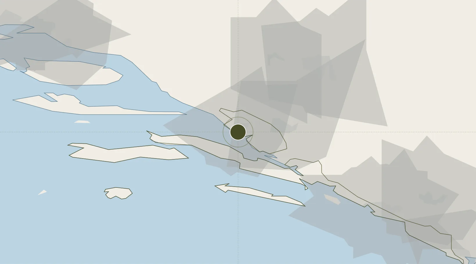
43.0446°, 17.4331°
21 ha
Zone area
0.6 km
Nearest port
42.7 km
Nearest airport

Gateway access

Nearest neighbours — logibook spatial index (haversine) over the source coordinates

Zone profile

Zone type
Export Processing Zone
Open Zone Map
Region
Dubrovacko-Neretvanska
Open Zone Map
Status
Active
Open Zone Map
Management
Public
Open Zone Map
Operator
Luka Ploče D.D.
Open Zone Map
Legal framework
Free Zones Act (Official Gazette 44/96, 92/05, 85/08), Regulation (EU) No 952/2013 of the European Parliament and of the Council of 9 October 2013 laying down the Union Customs Code (recast)
Open Zone Map

Location

Location of ozm-1725
Natural Earth 10m (public domain) · Dubrovacko-Neretvanska · ozm-1725 · 43.04, 17.43GoogleOSMYandex

Nearby Logistics Neighbours

Ports
  1. 1Ploce1 km
  2. 2Neum20 km
  3. 3Korcula27 km
  4. 4Dubrovnik68 km
  5. 5Dugi Rat78 km
Nearest neighbours — logibook spatial index (haversine) over the source coordinates
Airports
  1. 1Mostar International Airport43 km
  2. 2Brač Airport67 km
  3. 3Dubrovnik Ruđer Bošković Airport87 km
  4. 4Split Saint Jerome Airport107 km
  5. 5Sarajevo International Airport113 km
Nearest neighbours — logibook spatial index (haversine) over the source coordinates
Cities
  1. 1Rogotin3 km
  2. 2Blace5 km
  3. 3Trpanj14 km
  4. 4Trstenik14 km
  5. 5Klek15 km
Nearest neighbours — logibook spatial index (haversine) over the source coordinates
Trade Zones
  1. 1Free Zone Hercegovina42 km
  2. 2Split-Dalmatia Free Zone95 km
  3. 3Port of Split Free Zone97 km
  4. 4Free Zone Vogošća121 km
  5. 5Free Zone Visoko122 km
Nearest neighbours — logibook spatial index (haversine) over the source coordinates
DatabookThe Record of Consolidated Knowledge
Croatia beyond logistics?
Browse databook

All Sources

Trade ZonesOpen Zone Map
CC BY
Portsthe NGA World Port Index
Public domain (US gov)
AirportsOurAirports
Public domain
LocationsUN/LOCODE
UN/LOCODE — free
← Croatia trade zones