Medium airport · Montenegro
Tivat AirportLYTV
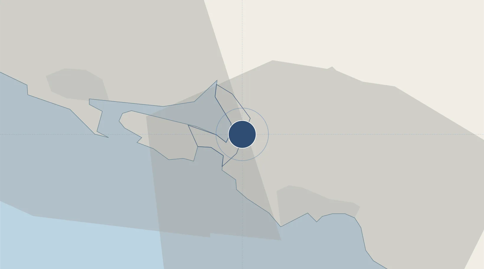
42.4047°, 18.7233°
8,208 ft
Longest runway
1
Runways
20 ft
Elevation
Runway & Layout

Radio Frequencies
TWR
118 MHz
ARR
118 MHz
APP
Navaids
TAZ NDB Tivat 345 kHz
Runways · 1
| Runway | Dimensions | Surface | True heading | Lit |
|---|---|---|---|---|
| 14/32 | 8,208 × 148ft | Asphalt | 139° | ✓ |
Airport Specifications
IATA code
TIV
ICAO code
LYTV
Airport class
Medium airport
Scheduled service
Yes
Runway surface
Asphalt
Served city
Tivat
Location
Nearby Logistics Neighbours
DatabookThe Record of Consolidated Knowledge
Montenegro beyond logistics?