Transport Functions
Port
Rail
Road
Hub Profile
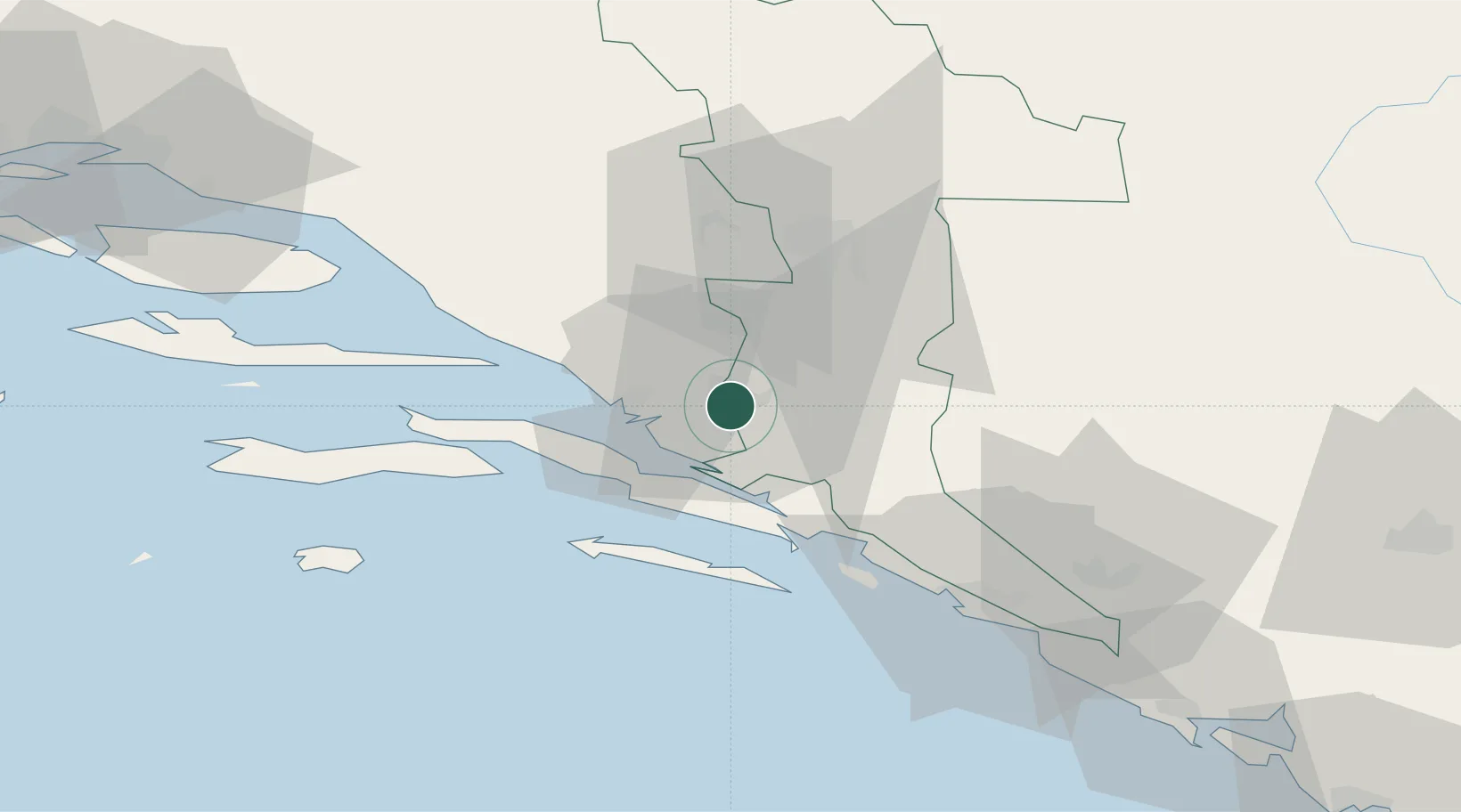
Place type
Provincial seat
Region
Dubrovnik-Neretva
Population
13,971
Time zone
Europe/Zagreb
Elevation
5 m
Location
Nearby Logistics Neighbours
Airports
- 1Mostar International Airport31 km
- 2Dubrovnik Ruđer Bošković Airport75 km
- 3Brač Airport82 km
- 4Sarajevo International Airport103 km
- 5Tivat Airport114 km
Trade Zones
- 1Port of Ploče Free Zone16 km
- 2Free Zone Hercegovina32 km
- 3Split-Dalmatia Free Zone108 km
- 4Port of Split Free Zone111 km
- 5Free Zone Vogošća112 km
DatabookThe Record of Consolidated Knowledge
Croatia beyond logistics?