Export Processing Zone · Montenegro

Port of Kotor Free Zone Inactive
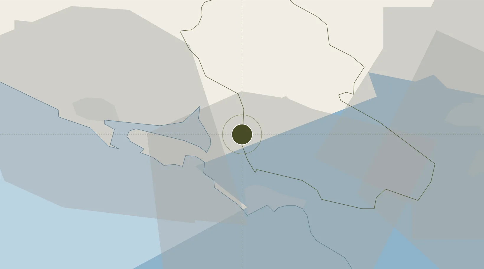
42.4282°, 18.7686°
200 ha
Zone area
1.3 km
Nearest port
4.5 km
Nearest airport

Gateway access

Nearest neighbours — logibook spatial index (haversine) over the source coordinates

Zone profile

Zone type
Export Processing Zone
Open Zone Map
Region
Cetinje
Open Zone Map
Status
Inactive
Open Zone Map
Management
Public
Open Zone Map
Operator
Luka Kotor A.D.
Open Zone Map
Legal framework
Maritime Zoning Law 30-07 of 2017
Open Zone Map

Location

Location of ozm-2864
Natural Earth 10m (public domain) · Cetinje · ozm-2864 · 42.43, 18.77GoogleOSMYandex

Nearby Logistics Neighbours

Ports
  1. 1Kotor1 km
  2. 2Tivat6 km
  3. 3Risan11 km
  4. 4Bar46 km
  5. 5Dubrovnik62 km
Nearest neighbours — logibook spatial index (haversine) over the source coordinates
Airports
  1. 1Tivat Airport5 km
  2. 2Podgorica Airport / Podgorica Golubovci Airbase40 km
  3. 3Dubrovnik Ruđer Bošković Airport44 km
  4. 4Mostar International Airport121 km
  5. 5Tirana International Airport Mother Teresa138 km
Nearest neighbours — logibook spatial index (haversine) over the source coordinates
Cities
  1. 1Kotor1 km
  2. 2Tivat6 km
  3. 3Bijela9 km
  4. 4Risan (Risano)11 km
  5. 5Zelenika15 km
Nearest neighbours — logibook spatial index (haversine) over the source coordinates
Trade Zones
  1. 1Free Zone Novi Duvanski Kombinat Podgorica39 km
  2. 2Port of Bar Free Zone46 km
  3. 3Koplik Technical and Economic Development Area60 km
  4. 4Shkodër Industrial Park73 km
  5. 5Shëngjin Industrial Complex98 km
Nearest neighbours — logibook spatial index (haversine) over the source coordinates
DatabookThe Record of Consolidated Knowledge
Montenegro beyond logistics?
Browse databook

All Sources

Trade ZonesOpen Zone Map
CC BY
Portsthe NGA World Port Index
Public domain (US gov)
AirportsOurAirports
Public domain
LocationsUN/LOCODE
UN/LOCODE — free
← Montenegro trade zones