Transport Functions
Port
Road
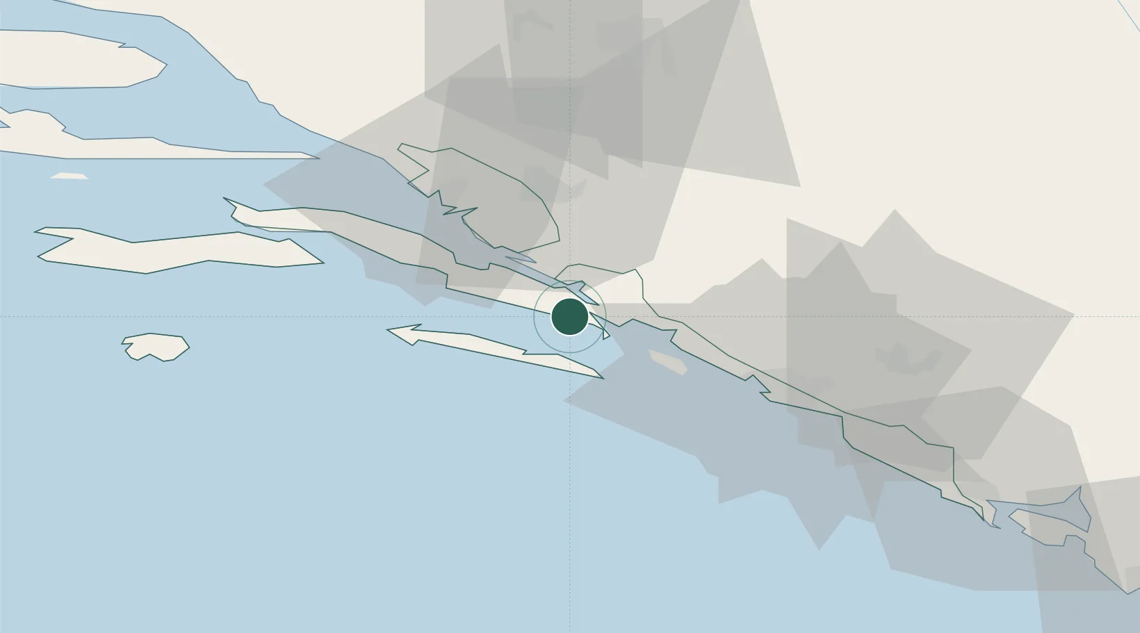
Location
Nearby Logistics Neighbours
Airports
- 1Mostar International Airport54 km
- 2Dubrovnik Ruđer Bošković Airport55 km
- 3Tivat Airport97 km
- 4Brač Airport97 km
- 5Sarajevo International Airport124 km
Trade Zones
- 1Port of Ploče Free Zone33 km
- 2Free Zone Hercegovina56 km
- 3Port of Kotor Free Zone99 km
- 4Split-Dalmatia Free Zone126 km
- 5Port of Split Free Zone128 km
DatabookThe Record of Consolidated Knowledge
Croatia beyond logistics?