Transport Functions
Multimodal
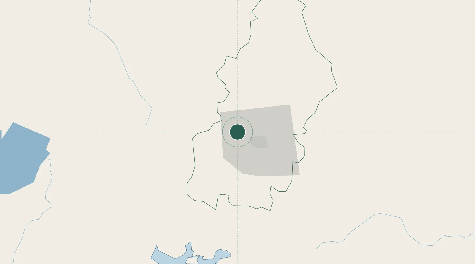
Hub Profile
Place type
Populated place
Region
Francisco Morazán Department
Population
2,683
Time zone
America/Tegucigalpa
Elevation
1,092 m
Location
Nearby Logistics Neighbours
Cities
- 1El Tizatillo25 km
- 2El Zamorano36 km
- 3San Ignacio64 km
- 4La Paz66 km
- 5Pimienta80 km
Ports
- 1Puerto De Hencan84 km
- 2La Union106 km
- 3Tela182 km
- 4Corinto186 km
- 5La Ceiba190 km
Airports
- 1Toncontín Airport16 km
- 2Palmerola International Airport40 km
- 3Ramón Villeda Morales International Airport158 km
- 4Tela Airport181 km
- 5Golosón International Airport184 km
Trade Zones
- 1ZIP Amaratecas Free Zone5 km
- 2ZEDE Orquídea93 km
- 3Villanueva Industrial148 km
- 4ZIP Buena Vista151 km
- 5ZIP El Porvenir Free Zone153 km
DatabookThe Record of Consolidated Knowledge
Honduras beyond logistics?