Transport Functions
Multimodal
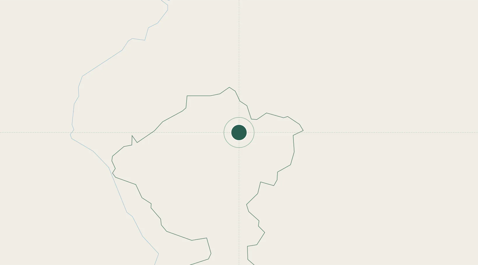
Hub Profile
Place type
Populated place
Region
Comayagua Department
Time zone
America/Tegucigalpa
Elevation
911 m
Location
Nearby Logistics Neighbours
Cities
- 1Santa Cruz de Yojoa46 km
- 2Rio Lindo54 km
- 3San Ignacio55 km
- 4El Progreso69 km
- 5Villanueva75 km
Ports
- 1Tela104 km
- 2Puerto Cortes120 km
- 3La Ceiba128 km
- 4Santo Tomas De Castilla153 km
- 5Puerto Barrios154 km
Airports
Trade Zones
- 1ZIP El Porvenir Free Zone74 km
- 2Villanueva Industrial74 km
- 3ZIP Amaratecas Free Zone75 km
- 4ZIP Buena Vista76 km
- 5ZIP Continental78 km
DatabookThe Record of Consolidated Knowledge
Honduras beyond logistics?