Medium airport · Honduras
Golosón International AirportMHLC
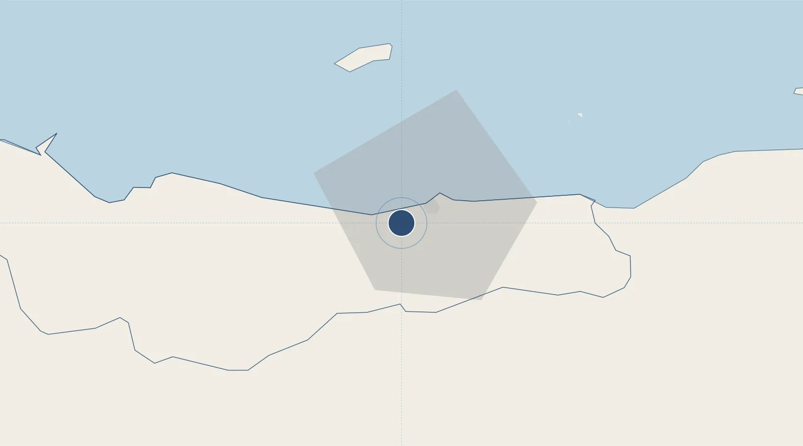
15.7425°, -86.8530°
9,875 ft
Longest runway
1
Runways
39 ft
Elevation
Runway & Layout

Radio Frequencies
TWR
118.5 MHz
GND
121.9 MHz
RDO
128.9 MHz
GOLOSON RDO
Navaids
BTO VOR-DME Bonito 113.50 MHz
LCE NDB-DME La Ceiba 0.23 MHz
Runways · 1
| Runway | Dimensions | Surface | True heading | Lit |
|---|---|---|---|---|
| 07/25 | 9,875 × 147ft | Asphalt | 067° | ✓ |
Airport Specifications
IATA code
LCE
ICAO code
MHLC
Airport class
Medium airport
Scheduled service
Yes
Runway surface
Asphalt
Served city
La Ceiba
Location
Nearby Logistics Neighbours
Airports
- 1Utila Airport41 km
- 2Tela Airport67 km
- 3Juan Manuel Gálvez International Airport73 km
- 4Trujillo Airport100 km
- 5Ramón Villeda Morales International Airport119 km
Cities
- 1Roatán70 km
- 2Mahogany Bay76 km
- 3Puerto Castilla99 km
- 4El Progreso108 km
- 5Rio Blanquito112 km
Ports
- 1La Ceiba7 km
- 2Tela64 km
- 3Coxen Hole72 km
- 4Puerto Castilla97 km
- 5Trujillo99 km
Trade Zones
- 1Roatán Próspera Village ZEDE81 km
- 2ZIP El Porvenir Free Zone105 km
- 3Ciudad Morazán (ZEDE Morazán)116 km
- 4Parque Industrial San Miguel116 km
- 5ZIP Continental117 km
DatabookThe Record of Consolidated Knowledge
Honduras beyond logistics?