Medium airport · Honduras
Tela AirportMHTE
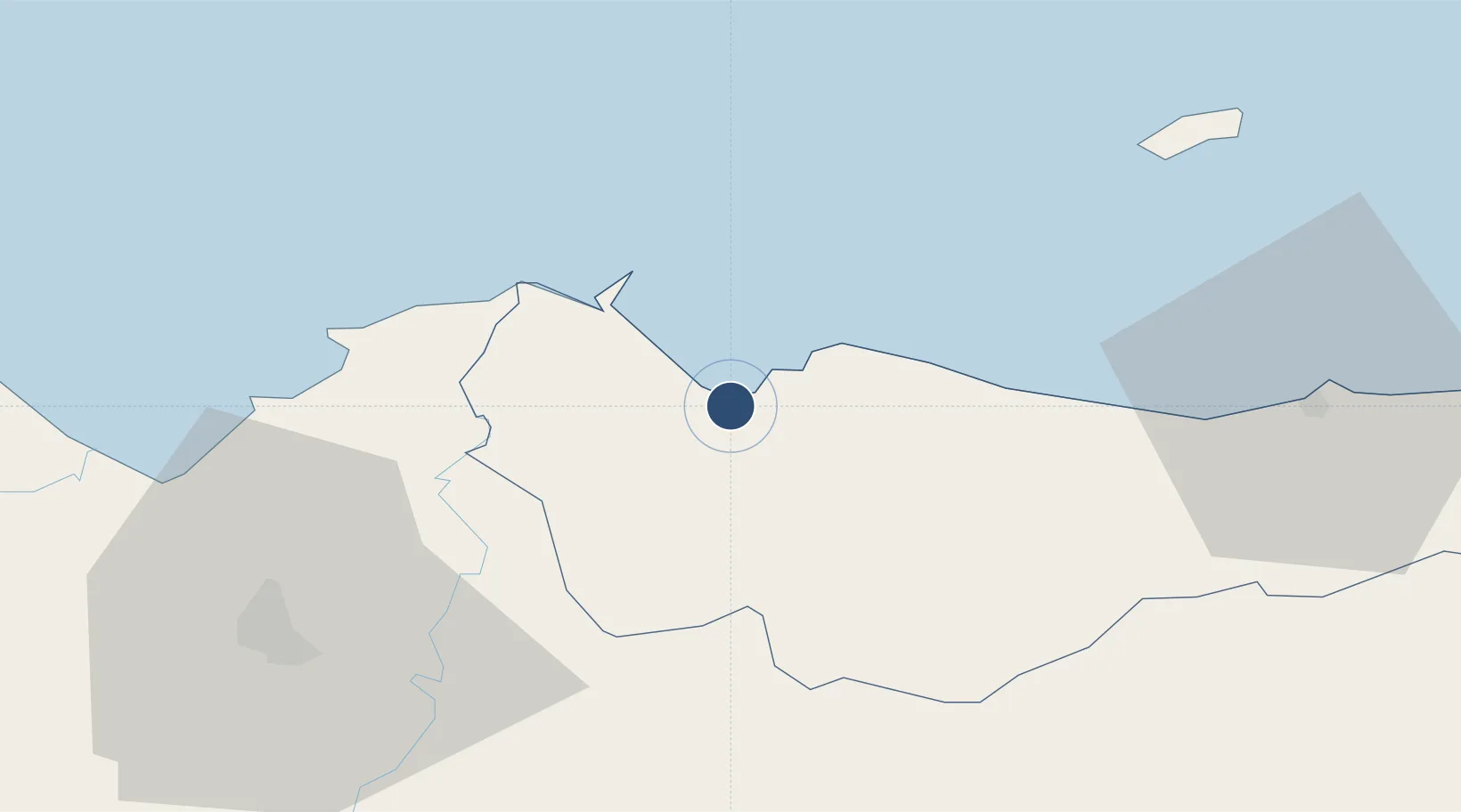
15.7759°, -87.4758°
4,415 ft
Longest runway
1
Runways
7 ft
Elevation
Runway & Layout

Runways · 1
| Runway | Dimensions | Surface | True heading | Lit |
|---|---|---|---|---|
| 06/24 | 4,415 × 98ft | Asphalt | 058° | — |
Airport Specifications
IATA code
TEA
ICAO code
MHTE
Airport class
Medium airport
Scheduled service
No
Runway surface
Asphalt
Served city
Tela
Location
Nearby Logistics Neighbours
Airports
Cities
- 1Rio Blanquito46 km
- 2Puerto Cortés47 km
- 3Rio Bijao49 km
- 4San Pedro Sula54 km
- 5El Progreso54 km
Ports
- 1Tela3 km
- 2Puerto Cortes51 km
- 3La Ceiba72 km
- 4Coxen Hole116 km
- 5Puerto Barrios120 km
Trade Zones
DatabookThe Record of Consolidated Knowledge
Honduras beyond logistics?