Transport Functions
Multimodal
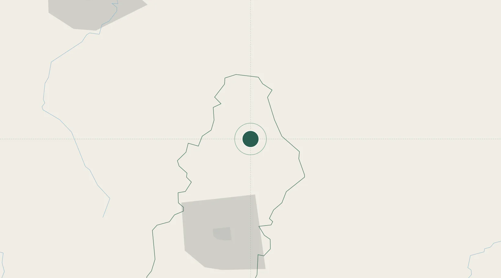
Hub Profile
Place type
Populated place
Region
Francisco Morazán Department
Population
2,330
Time zone
America/Tegucigalpa
Elevation
700 m
Location
Nearby Logistics Neighbours
Cities
- 1Pimienta55 km
- 2Tamara64 km
- 3El Zamorano70 km
- 4El Tizatillo76 km
- 5Santa Cruz de Yojoa100 km
Ports
- 1La Ceiba129 km
- 2Tela134 km
- 3Puerto De Hencan146 km
- 4Puerto Cortes164 km
- 5La Union170 km
Airports
- 1Toncontín Airport68 km
- 2Palmerola International Airport70 km
- 3Golosón International Airport123 km
- 4Ramón Villeda Morales International Airport131 km
- 5Tela Airport134 km
Trade Zones
- 1ZIP Amaratecas Free Zone61 km
- 2ZIP El Porvenir Free Zone121 km
- 3Villanueva Industrial127 km
- 4ZIP Continental127 km
- 5ZIP Buena Vista129 km
DatabookThe Record of Consolidated Knowledge
Honduras beyond logistics?