Transport Functions
Multimodal
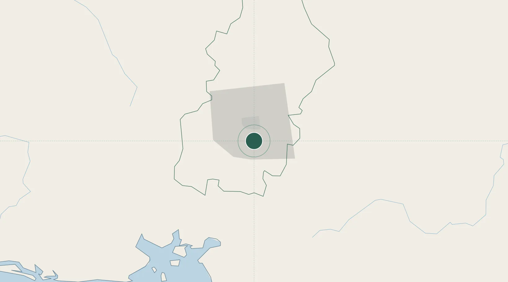
Hub Profile
Place type
Populated place
Region
Francisco Morazán Department
Population
798
Time zone
America/Tegucigalpa
Elevation
1,203 m
Location
Nearby Logistics Neighbours
Cities
- 1El Zamorano17 km
- 2Tamara25 km
- 3La Paz44 km
- 4San Lorenzo69 km
- 5San Ignacio76 km
Ports
- 1Puerto De Hencan71 km
- 2La Union101 km
- 3Corinto167 km
- 4Tela202 km
- 5La Ceiba204 km
Airports
Trade Zones
- 1ZIP Amaratecas Free Zone28 km
- 2ZEDE Orquídea69 km
- 3AJ Fernández Cigars, SA132 km
- 4Agroindustrias Chinandega, SA151 km
- 5Camarones de Nicaragua, SA161 km
DatabookThe Record of Consolidated Knowledge
Honduras beyond logistics?