Transport Functions
Multimodal
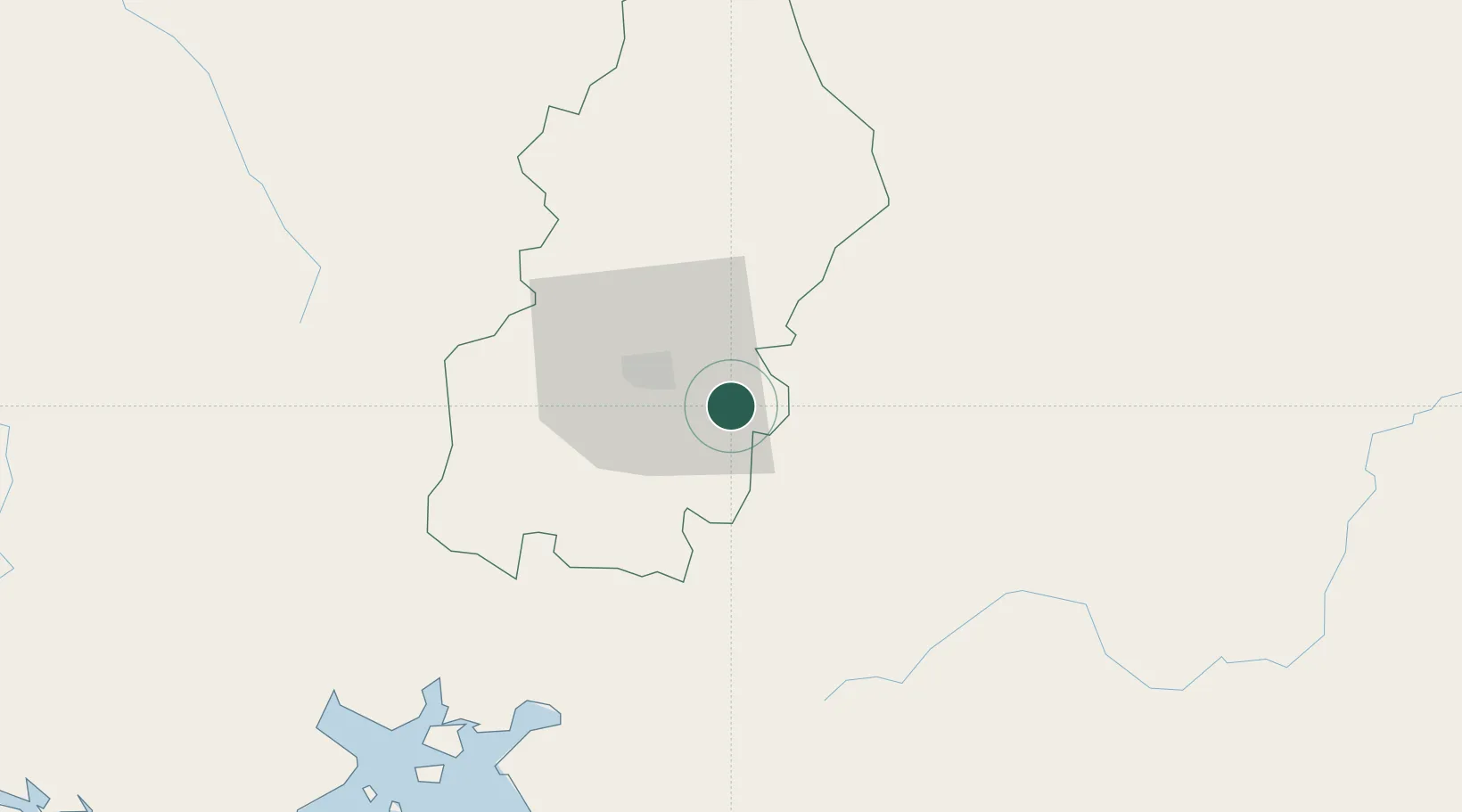
Hub Profile
Place type
Populated place
Region
Francisco Morazán Department
Time zone
America/Tegucigalpa
Elevation
756 m
Location
Nearby Logistics Neighbours
Cities
- 1El Tizatillo17 km
- 2Tamara36 km
- 3La Paz47 km
- 4San Ignacio70 km
- 5Ocotal73 km
Ports
- 1Puerto De Hencan82 km
- 2La Union115 km
- 3Corinto171 km
- 4La Ceiba198 km
- 5Tela202 km
Airports
- 1Toncontín Airport20 km
- 2Palmerola International Airport75 km
- 3Ramón Villeda Morales International Airport186 km
- 4Golosón International Airport193 km
- 5Tela Airport201 km
Trade Zones
- 1ZIP Amaratecas Free Zone38 km
- 2ZEDE Orquídea64 km
- 3AJ Fernández Cigars, SA125 km
- 4Agroindustrias Chinandega, SA155 km
- 5IAMSA Nicaragua,SA163 km
DatabookThe Record of Consolidated Knowledge
Honduras beyond logistics?