Export Processing Zone · Honduras
Villanueva Industrial Active
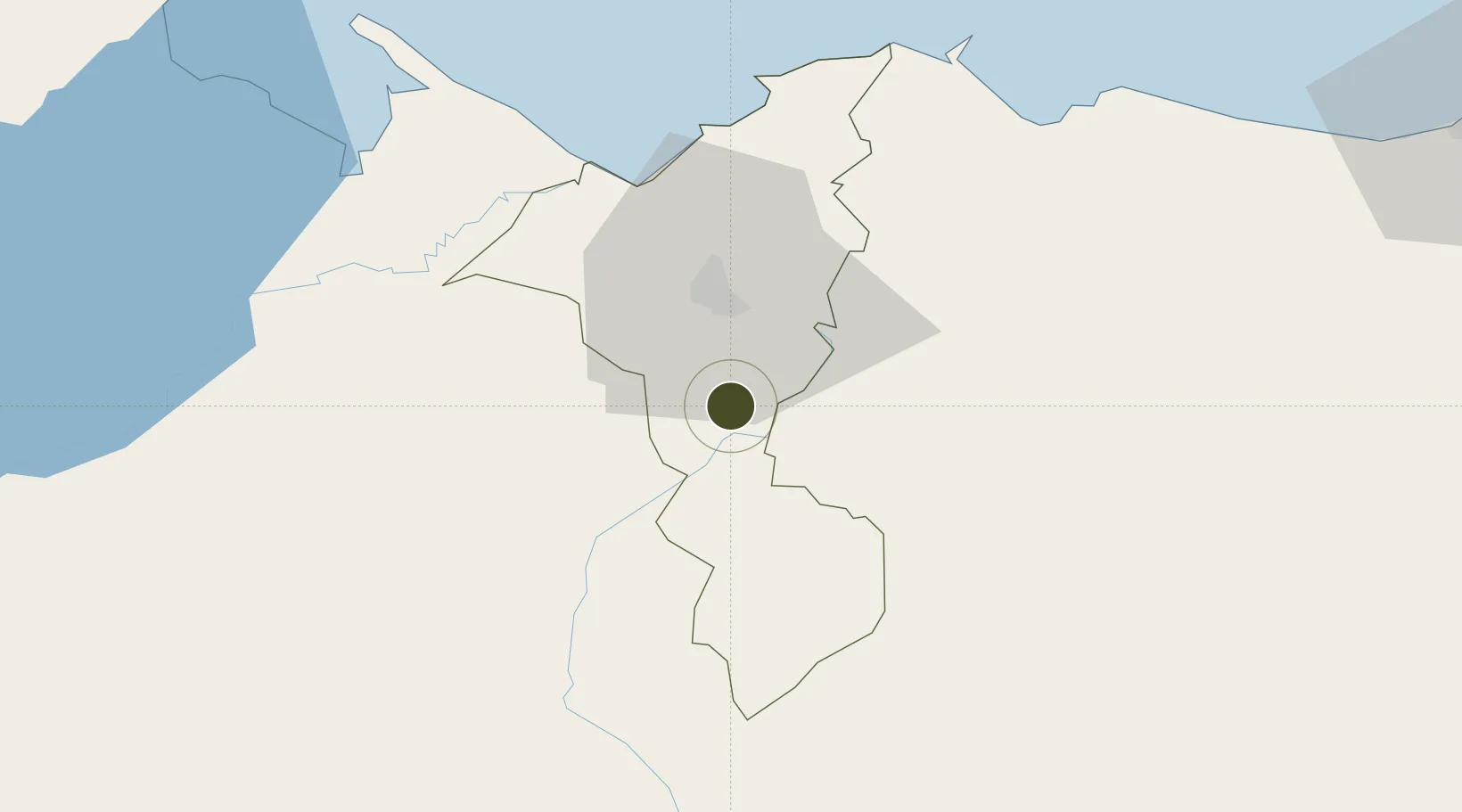
15.3222°, -87.9903°
58 ha
Zone area
57.0 km
Nearest port
16.2 km
Nearest airport
Gateway access
Zone profile
Zone type
Export Processing Zone
Region
Cortés
Status
Active
Management
Private
Operator
Grupo J, SA
Legal framework
Law of Industrial Zones of Processing for Exports - Decree No 131-98
Location
Nearby Logistics Neighbours
Ports
- 1Puerto Cortes57 km
- 2Tela77 km
- 3Santo Tomas De Castilla79 km
- 4Puerto Barrios80 km
- 5La Ceiba137 km
Airports
- 1Ramón Villeda Morales International Airport16 km
- 2Tela Airport75 km
- 3Puerto Barrios Airport78 km
- 4Palmerola International Airport112 km
- 5Punta Gorda Airport123 km
Cities
- 1Villanueva1 km
- 2Búfalo7 km
- 3Chamelecón13 km
- 4El Progreso22 km
- 5San Pedro Sula30 km
Trade Zones
- 1ZIP Buena Vista3 km
- 2ZIP Bufalo Free Zone10 km
- 3ZIP Continental16 km
- 4ZIP Calpules16 km
- 5ZIP San José18 km
DatabookThe Record of Consolidated Knowledge
Honduras beyond logistics?