Large airport · Honduras
Ramón Villeda Morales International AirportMHLM
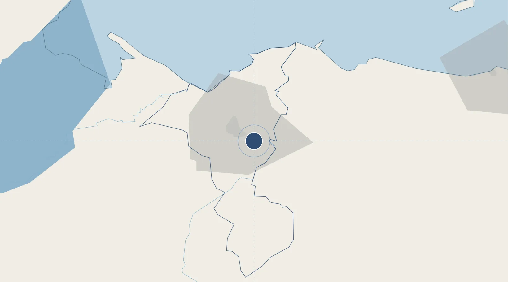
15.4526°, -87.9236°
9,203 ft
Longest runway
1
Runways
91 ft
Elevation
Runway & Layout

Radio Frequencies
TWR
118.2 MHz
GND
121.9 MHz
APP
119.7 MHz
RDO
127.1 MHz
Navaids
LMS VOR-DME La Mesa 113.10 MHz
LMS NDB La Mesa 370 kHz
Runways · 1
| Runway | Dimensions | Surface | True heading | Lit |
|---|---|---|---|---|
| 04/22 | 9,203 × 148ft | Concrete | 040° | ✓ |
Airport Specifications
IATA code
SAP
ICAO code
MHLM
Airport class
Large airport
Scheduled service
Yes
Runway surface
Concrete
Served city
San Pedro Sula
Location
Nearby Logistics Neighbours
Airports
- 1Tela Airport60 km
- 2Puerto Barrios Airport77 km
- 3Punta Gorda Airport119 km
- 4Golosón International Airport119 km
- 5Palmerola International Airport123 km
Cities
- 1Chamelecón10 km
- 2Búfalo11 km
- 3El Progreso15 km
- 4San Pedro Sula15 km
- 5Villanueva17 km
Ports
- 1Puerto Cortes42 km
- 2Tela63 km
- 3Puerto Barrios79 km
- 4Santo Tomas De Castilla79 km
- 5La Ceiba126 km
Trade Zones
- 1ZIP Continental3 km
- 2ZIP Calpules5 km
- 3ZIP San José10 km
- 4ZIP Bufalo Free Zone10 km
- 5ZIP Buena Vista13 km
DatabookThe Record of Consolidated Knowledge
Honduras beyond logistics?