Runway & Layout

Airport Specifications
IATA code
MOJ
ICAO code
SMMO
Airport class
Small airport
Scheduled service
Yes
Served city
Moengo
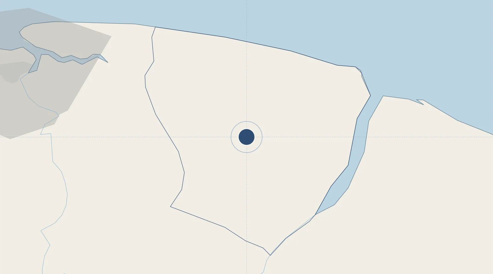
Location
Nearby Logistics Neighbours
Airports
Cities
- 1Saint-Laurent-du-Maroni42 km
- 2Awala-Yalimapo52 km
- 3Paramaribo88 km
- 4Lelydorp93 km
- 5Kwatta97 km
Ports
- 1Moengo3 km
- 2Paranam77 km
- 3Paramaribo88 km
- 4Degrad Des Cannes251 km
- 5Nieuw Nickerie290 km
Trade Zones
- 1Coldingen Industrial Estate420 km
- 2Eccles Industrial Estate436 km
- 3Ruimveldt Industrial Estate437 km
- 4Lethem Industrial Estate648 km
- 5Free Port of Santa Elena de Uairén752 km
DatabookThe Record of Consolidated Knowledge
Suriname beyond logistics?