UN/LOCODE hub · French Guiana
GFCCY
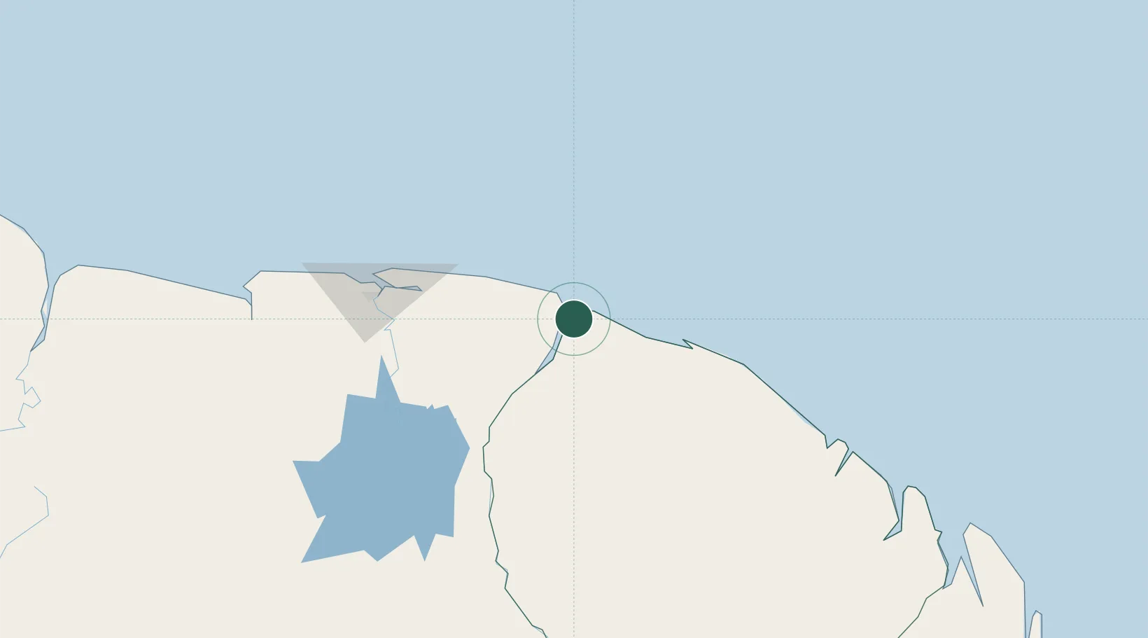
Awala-Yalimapo
5.6833°, -53.9333°
1,549
Population
2
Transport functions
Transport Functions
Port
Road
Hub Profile
Place type
Populated place
Region
Guyane
Population
1,549
Time zone
America/Cayenne
Elevation
6 m
Location
Nearby Logistics Neighbours
Cities
- 1Saint-Laurent-du-Maroni23 km
- 2Paramaribo137 km
- 3Lelydorp144 km
- 4Kwatta146 km
- 5Kourou156 km
Ports
- 1Moengo54 km
- 2Paranam129 km
- 3Paramaribo138 km
- 4Degrad Des Cannes207 km
- 5Nieuw Nickerie341 km
Airports
- 1Saint-Laurent-du-Maroni Airport25 km
- 2Moengo Airstrip52 km
- 3Afobakka Airstrip140 km
- 4Zorg en Hoop Airport140 km
- 5Eduard Alexander Gummels Airport141 km
Trade Zones
- 1Coldingen Industrial Estate467 km
- 2Eccles Industrial Estate483 km
- 3Ruimveldt Industrial Estate484 km
- 4Lethem Industrial Estate699 km
- 5Free Port of Santa Elena de Uairén804 km