Small airport · Suriname

Tabiki AirstripSMTA

3.6798°, -54.0852°
309 ft
Elevation

Runway & Layout

Tabiki Airstrip runway & taxiway layout
Runway & taxiway layout — OpenStreetMap (ODbL) / OurAirports

Airport Specifications
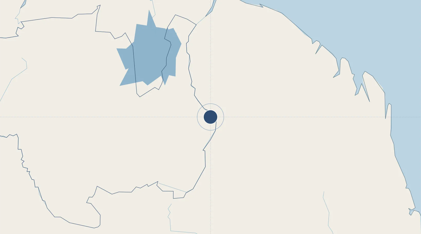
ICAO code
SMTA
OurAirports
Airport class
Small airport
OurAirports
Scheduled service
Yes
OurAirports
Served city
Benzdorp
OurAirports

Location

Location of SMTA
Natural Earth 10m (public domain) · Sipaliwini · SMTA · 3.68, -54.09GoogleOSMYandex

Nearby Logistics Neighbours

Airports
  1. 1Maripasoula Airport6 km
  2. 2Cottica Airstrip25 km
  3. 3Drietabbetje Airport81 km
  4. 4Godo Holo Airstrip88 km
  5. 5Afobakka Airstrip178 km
Nearest neighbours — logibook spatial index (haversine) over the source coordinates
Cities
  1. 1Saint-Laurent-du-Maroni203 km
  2. 2Awala-Yalimapo223 km
  3. 3Kourou229 km
  4. 4Dégrad des Cannes239 km
  5. 5Cayenne240 km
Nearest neighbours — logibook spatial index (haversine) over the source coordinates
Ports
  1. 1Moengo220 km
  2. 2Degrad Des Cannes240 km
  3. 3Paranam243 km
  4. 4Paramaribo268 km
  5. 5Nieuw Nickerie410 km
Nearest neighbours — logibook spatial index (haversine) over the source coordinates
Trade Zones
  1. 1Coldingen Industrial Estate555 km
  2. 2Eccles Industrial Estate568 km
  3. 3Ruimveldt Industrial Estate569 km
  4. 4Lethem Industrial Estate635 km
  5. 5ZPE de Boa Vista (RR)741 km
Nearest neighbours — logibook spatial index (haversine) over the source coordinates
DatabookThe Record of Consolidated Knowledge
Suriname beyond logistics?
Browse databook

All Sources

AirportsOurAirports
Public domain
Portsthe NGA World Port Index
Public domain (US gov)
LocationsUN/LOCODE
UN/LOCODE — free
Trade Zonesthe World Bank SEZ database
CC BY 4.0
Trade ZonesOpen Zone Map
CC BY
InfrastructureOpenStreetMap
ODbL 1.0
← Suriname airports