Transport Functions
Road
Airport
Multimodal
Hub Profile
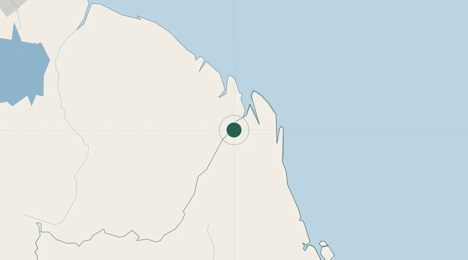
Place type
Populated place
Region
Amapá
Population
27,482
Time zone
America/Belem
Elevation
18 m
Location
Nearby Logistics Neighbours
Cities
- 1Saint-Georges6 km
- 2Ouanary44 km
- 3Cayenne123 km
- 4Dégrad des Cannes123 km
- 5Dégrad des Cannes-Pariacabo Pt/Remire126 km
Ports
- 1Degrad Des Cannes122 km
- 2Moengo350 km
- 3Paranam414 km
- 4Paramaribo432 km
- 5Porto Santana439 km
Airports
- 1Oiapoque Airport2 km
- 2Saint-Georges-de-l'Oyapock Airport6 km
- 3Cayenne – Félix Eboué Airport124 km
- 4Maripasoula Airport248 km
- 5Tabiki Airstrip252 km
Trade Zones
- 1ZPE de Barcarena (PA)694 km
- 2Coldingen Industrial Estate760 km
- 3Eccles Industrial Estate774 km
- 4Ruimveldt Industrial Estate775 km
- 5Lethem Industrial Estate888 km
DatabookThe Record of Consolidated Knowledge
Brazil beyond logistics?