Transport Functions
Port
Road
Hub Profile
Place type
Populated place
Region
Northern Ireland
Time zone
Europe/London
Elevation
77 m
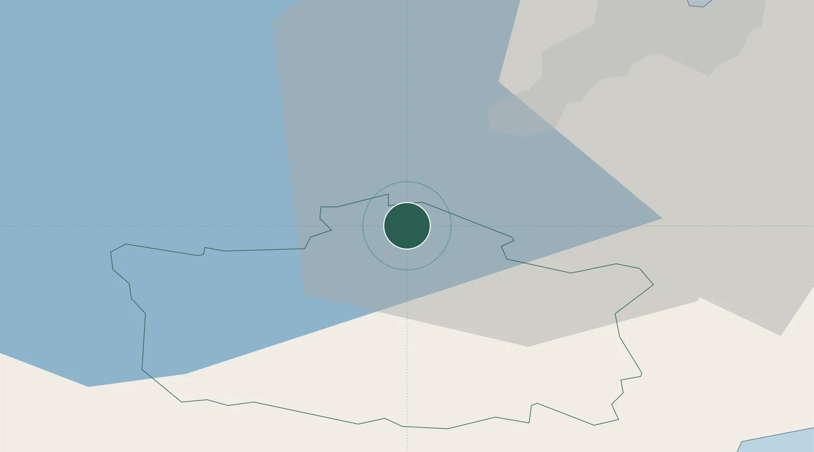
Location
Nearby Logistics Neighbours
Cities
- 1Dunmurry17 km
- 2Glenavy19 km
- 3Newry27 km
- 4Killyleagh28 km
- 5Belfast28 km
Ports
- 1Belfast28 km
- 2Warren Point36 km
- 3Ardglass38 km
- 4Bangor41 km
- 5Kilkeel42 km
Airports
Trade Zones
DatabookThe Record of Consolidated Knowledge
United Kingdom beyond logistics?