UN/LOCODE hub · United Kingdom
GBZOY
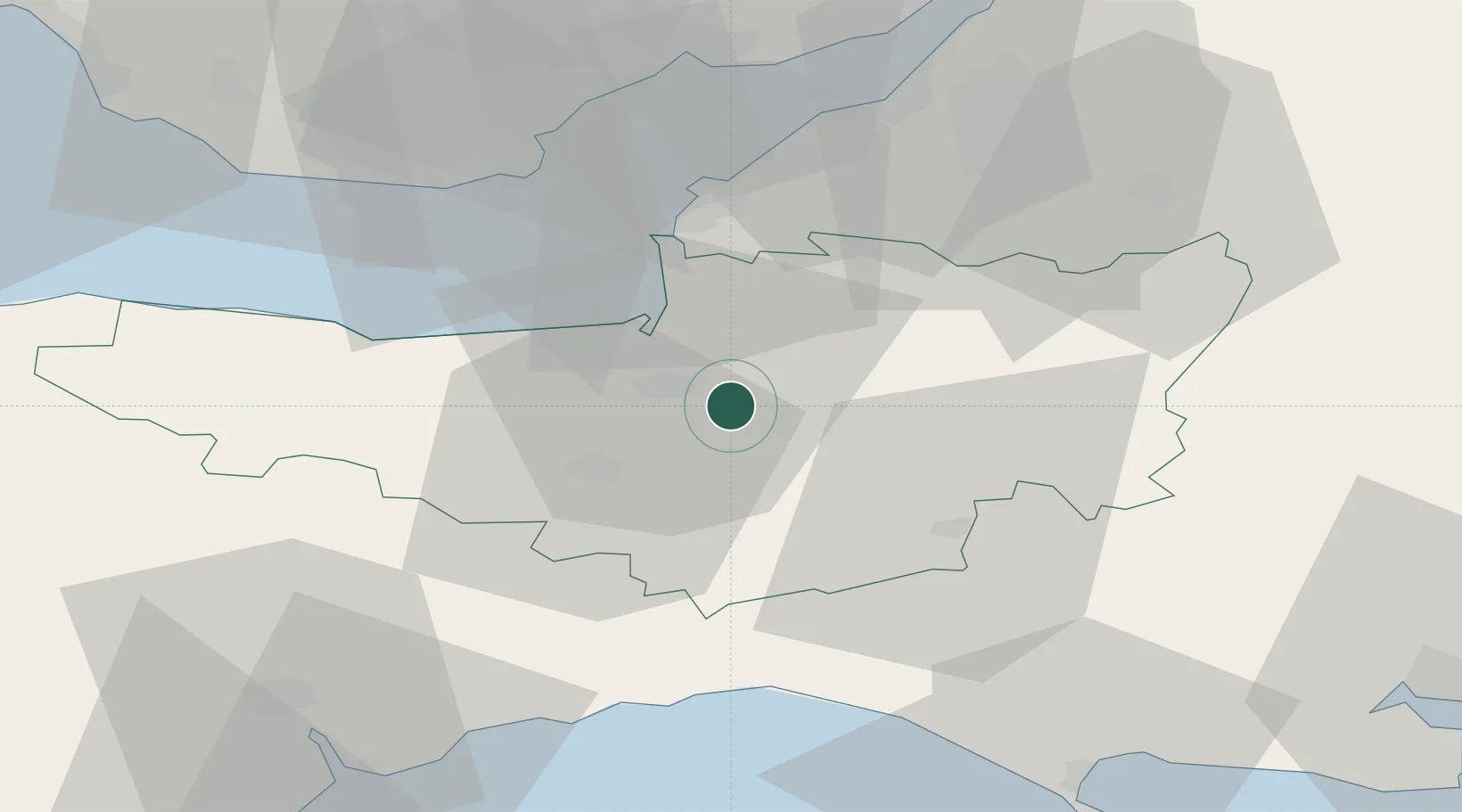
Westonzoyland
51.1000°, -2.9167°
1,686
Population
2
Transport functions
Transport Functions
Port
Multimodal
Hub Profile
Place type
Populated place
Region
England
Population
1,686
Time zone
Europe/London
Elevation
10 m
Location
Nearby Logistics Neighbours
Cities
- 1Stathe6 km
- 2Pitney11 km
- 3Cannington13 km
- 4Lower Weare19 km
- 5Winscombe23 km
Ports
- 1Bridgwater7 km
- 2Watchet Harbor31 km
- 3Barry41 km
- 4Cardiff43 km
- 5Bridport Harbour44 km
Airports
- 1RNAS Yeovilton22 km
- 2Bristol Airport34 km
- 3Cardiff International Airport44 km
- 4MOD St Athan49 km
- 5Exeter International Airport54 km
Trade Zones
DatabookThe Record of Consolidated Knowledge
United Kingdom beyond logistics?