Seaport · United Kingdom

CardiffGBCDF

51.4500°, -3.1667°
10.8
Port liner connectivity
Cardiff is also a UN/LOCODE logistics hub →

Channel & Berth Profile

SEA LEVEL (CD)CHANNEL BEDOil terminal · 7.9 mAnchorage · 9.4 mCargo pier · 11.0 m
NGA World Port Index

Pilotage, Tugs & Services

Pilotage compulsoryYES
Pilotage availableYES
Pilotage advisableYES
Tug assistanceYES
Shore powerYES
Potable waterYES
Diesel bunkersYES
MedicalYES
Garbage disposalYES
NGA World Port Index

Facilities & Capabilities

Container
Ro-Ro
Liquid bulk
Dry bulk
Oil terminal
Break bulk
Dry dock
RepairsNO
BunkeringYES
Rail linkYES
Dangerous cargo
ISPS security
NGA World Port Index

Harbour Specifications

Harbour size
Medium
NGA World Port Index
Harbour type
Coastal (Tide Gates)
NGA World Port Index
Shelter
Excellent
NGA World Port Index
Water body
Bristol Channel; North Atlantic Ocean
NGA World Port Index
Tidal range
11 m
NGA World Port Index
Overhead limit
Yes
NGA World Port Index
Pilotage
Yes
NGA World Port Index

Liner Connectivity

10.8
PLSCI

Port Liner Shipping Connectivity Index for Cardiff, as published by UNCTAD for the latest available quarter. Higher values indicate stronger scheduled liner-shipping integration.

Shown relative to the highest per-port PLSCI in the dataset (1,657.9).
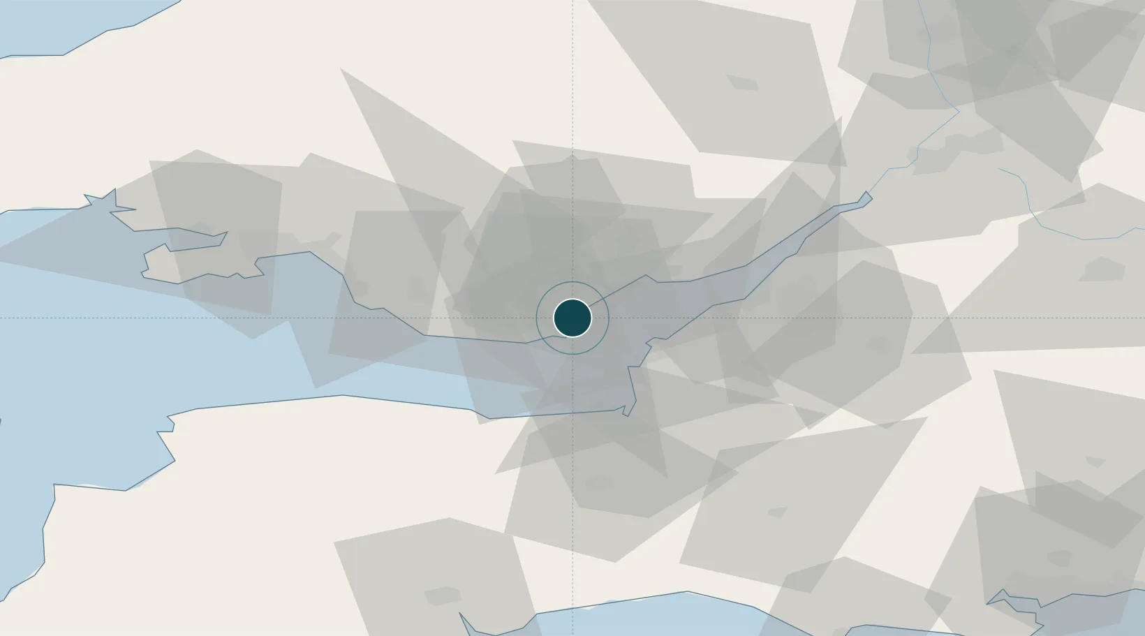
UNCTAD · Port Liner Shipping Connectivity Index

Location

Location of GBCDF
Natural Earth 10m (public domain) · Vale of Glamorgan · GBCDF · 51.45, -3.17GoogleOSMYandex

Nearby Logistics Neighbours

Ports
  1. 1Barry9 km
  2. 2Newport17 km
  3. 3Bird Port19 km
  4. 4Avonmouth32 km
  5. 5Watchet Harbor32 km
Nearest neighbours — logibook spatial index (haversine) over the source coordinates
Cities
  1. 1Penarth2 km
  2. 2Barry Dock8 km
  3. 3Barry8 km
  4. 4Rogerstone17 km
  5. 5Weston-Super-Mare18 km
Nearest neighbours — logibook spatial index (haversine) over the source coordinates
Airports
  1. 1Cardiff International Airport14 km
  2. 2MOD St Athan19 km
  3. 3Bristol Airport32 km
  4. 4RNAS Yeovilton61 km
  5. 5Swansea Airport65 km
Nearest neighbours — logibook spatial index (haversine) over the source coordinates
Trade Zones
  1. 1Bristol Temple Quarter Enterprise Zone41 km
  2. 2Ceramics Valley57 km
  3. 3Hereford Enterprise Zone73 km
  4. 4Exeter & East Devon Enterprise Zone82 km
  5. 5Dorset Innovation Park106 km
Nearest neighbours — logibook spatial index (haversine) over the source coordinates
DatabookThe Record of Consolidated Knowledge
United Kingdom beyond logistics?
Browse databook

All Sources

Portsthe NGA World Port Index
Public domain (US gov)
Logistics performanceUNCTAD
CC BY 3.0 IGO
AirportsOurAirports
Public domain
LocationsUN/LOCODE
UN/LOCODE — free
Trade Zonesthe World Bank SEZ database
CC BY 4.0
Trade ZonesOpen Zone Map
CC BY
← United Kingdom ports