Channel & Berth Profile
Pilotage, Tugs & Services
Pilotage compulsoryYES
Pilotage availableYES
Pilotage advisableYES
Local assistanceYES
Tug assistanceNO
Salvage tugsNO
Shore powerYES
Potable waterYES
Diesel bunkersYES
MedicalYES
Garbage disposalYES
Facilities & Capabilities
Container—
Ro-Ro—
Liquid bulk—
Dry bulk—
Oil terminal—
Break bulk—
Dry dockNO
RepairsNO
BunkeringYES
Rail linkYES
Dangerous cargo—
ISPS security—
Harbour Specifications
Harbour size
Very Small
Harbour type
River (Natural)
Shelter
Good
Water body
Bristol Channel; North Atlantic Ocean
Tidal range
9 m
Overhead limit
Yes
Pilotage
Yes
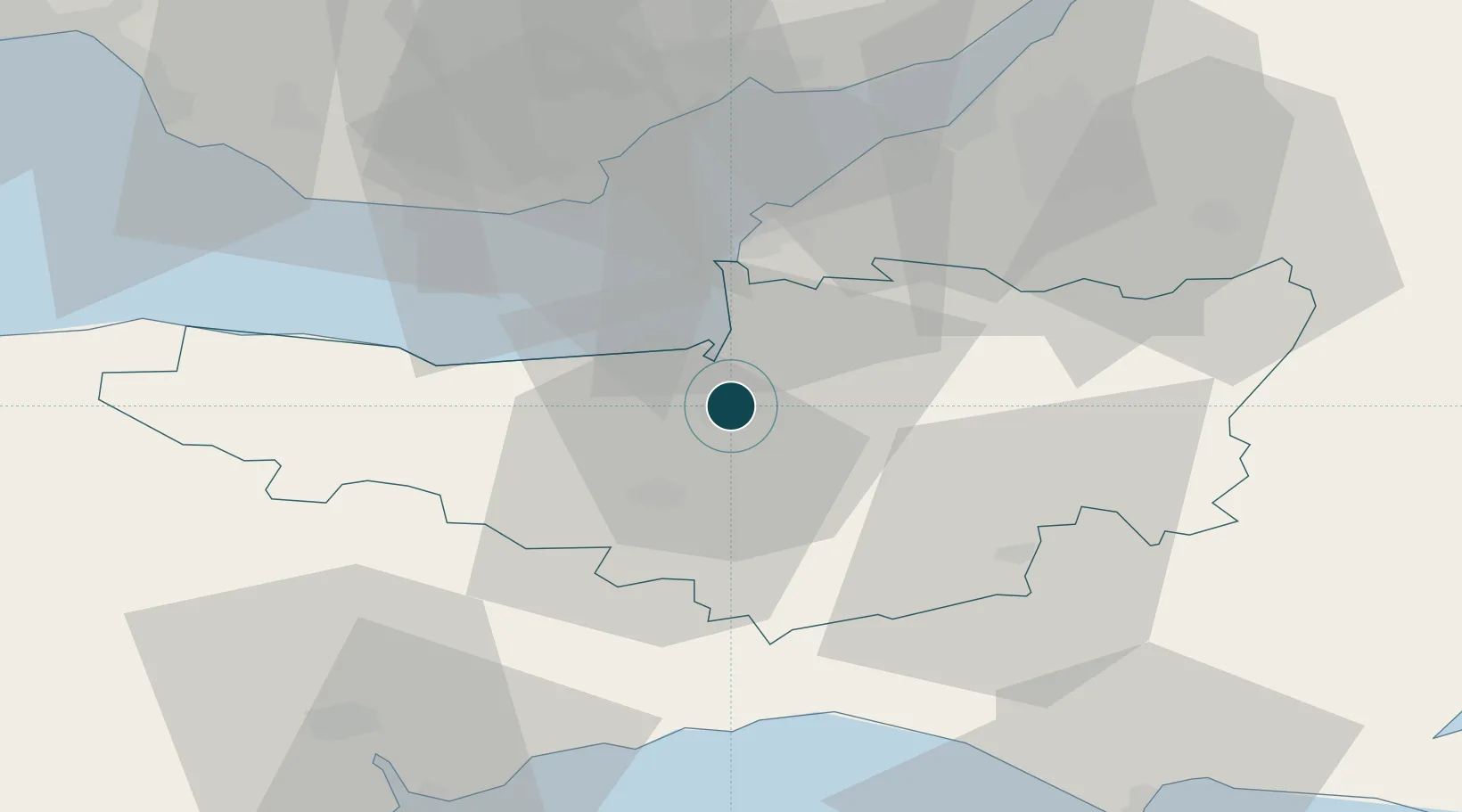
Location
Nearby Logistics Neighbours
Ports
- 1Watchet Harbor24 km
- 2Barry35 km
- 3Cardiff37 km
- 4Bristol45 km
- 5Avonmouth45 km
Cities
- 1Cannington6 km
- 2Westonzoyland7 km
- 3Stathe12 km
- 4Pitney18 km
- 5Lower Weare18 km
Airports
- 1RNAS Yeovilton29 km
- 2Bristol Airport34 km
- 3Cardiff International Airport38 km
- 4MOD St Athan43 km
- 5Exeter International Airport53 km
Trade Zones
DatabookThe Record of Consolidated Knowledge
United Kingdom beyond logistics?