Transport Functions
Rail
Road
Hub Profile
Place type
Populated place
Region
England
Time zone
Europe/London
Elevation
9 m
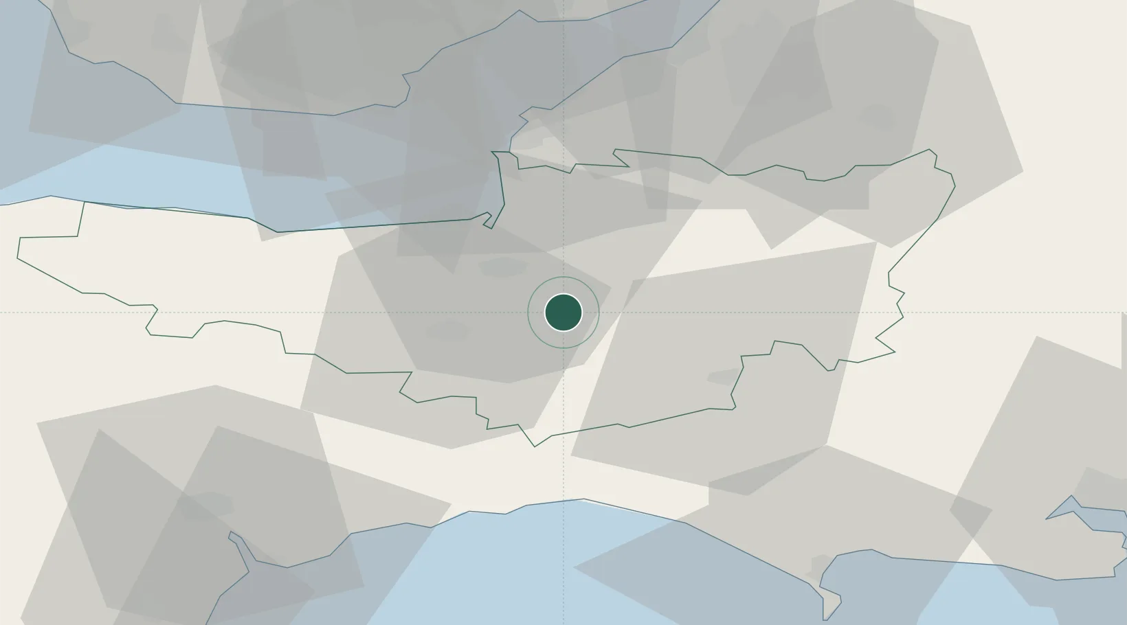
Location
Nearby Logistics Neighbours
Cities
- 1Westonzoyland6 km
- 2Pitney8 km
- 3Cannington17 km
- 4Clapton23 km
- 5Lower Weare24 km
Ports
- 1Bridgwater12 km
- 2Watchet Harbor34 km
- 3Bridport Harbour38 km
- 4Barry47 km
- 5Cardiff48 km
Airports
- 1RNAS Yeovilton19 km
- 2Bristol Airport39 km
- 3Cardiff International Airport49 km
- 4Exeter International Airport50 km
- 5MOD St Athan54 km
Trade Zones
DatabookThe Record of Consolidated Knowledge
United Kingdom beyond logistics?