Channel & Berth Profile
Pilotage, Tugs & Services
Pilotage compulsoryYES
Pilotage availableYES
Tug assistanceNO
Salvage tugsNO
Potable waterYES
Diesel bunkersYES
MedicalYES
Facilities & Capabilities
Container—
Ro-Ro—
Liquid bulk—
Dry bulk—
Oil terminal—
Break bulk—
Dry dock—
RepairsNO
BunkeringYES
Rail linkYES
Dangerous cargo—
ISPS security—
Harbour Specifications
Harbour size
Very Small
Harbour type
Coastal (Breakwater)
Shelter
Poor
Water body
English Channel; North Atlantic Ocean
Tidal range
4 m
Pilotage
Yes
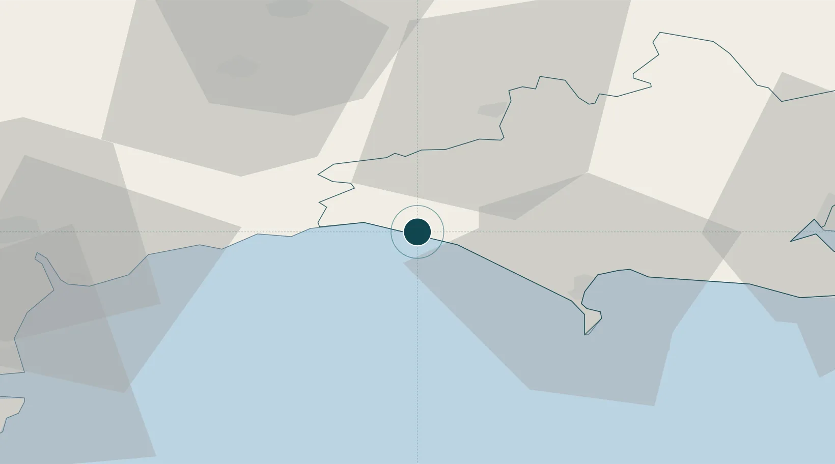
Location
Nearby Logistics Neighbours
Ports
- 1Weymouth Harbour25 km
- 2Portland Harbour28 km
- 3Bridgwater49 km
- 4Teignmouth Harbour55 km
- 5Poole Harbour58 km
Cities
- 1West Bay2 km
- 2Chideock4 km
- 3Burton Bradstock4 km
- 4Charmouth10 km
- 5Lyme Regis12 km
Airports
- 1RNAS Yeovilton34 km
- 2Exeter International Airport46 km
- 3Bournemouth Airport66 km
- 4Bristol Airport74 km
- 5Cardiff International Airport86 km
Trade Zones
DatabookThe Record of Consolidated Knowledge
United Kingdom beyond logistics?