Medium airport · United Kingdom
MOD St AthanEGDX
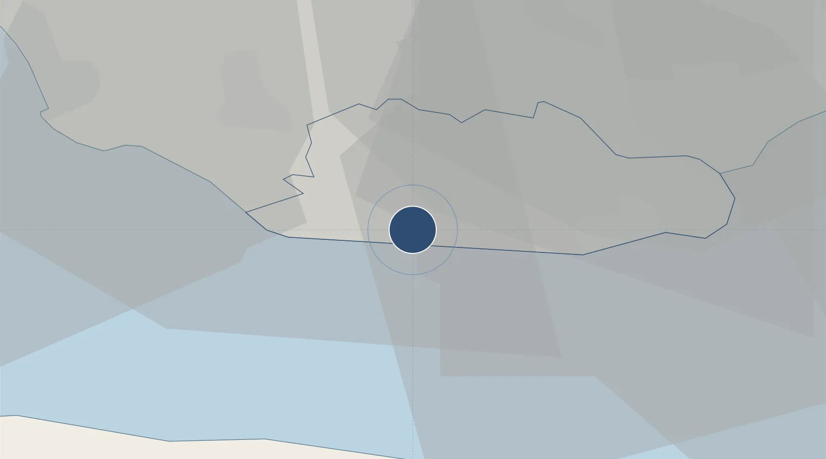
51.4052°, -3.4333°
5,997 ft
Longest runway
1
Runways
163 ft
Elevation
Runway & Layout

Radio Frequencies
ATIS
34.045 MHz
TWR
118.125 MHz
GND
24.112 MHz
APP
126.625 MHz
MISC
132.475 MHz
CARDIFF ATIS
Runways · 1
| Runway | Dimensions | Surface | True heading | Lit |
|---|---|---|---|---|
| 07/25 | 5,997 × 141ft | Asphalt | 073° | ✓ |
Airport Specifications
ICAO code
EGSY
Airport class
Medium airport
Scheduled service
No
Runway surface
Asphalt
Served city
St Athan, Vale of Glamorgan
Location
Nearby Logistics Neighbours
Airports
- 1Cardiff International Airport6 km
- 2Swansea Airport49 km
- 3Bristol Airport50 km
- 4Royal Marines Base Chivenor61 km
- 5RNAS Yeovilton71 km
Cities
- 1Barry13 km
- 2Barry Dock13 km
- 3Penarth19 km
- 4Tonyrefail20 km
- 5Porthcawl20 km
Ports
- 1Barry12 km
- 2Cardiff19 km
- 3Watchet Harbor26 km
- 4Port Talbot33 km
- 5Newport35 km
Trade Zones
DatabookThe Record of Consolidated Knowledge
United Kingdom beyond logistics?