Transport Functions
Multimodal
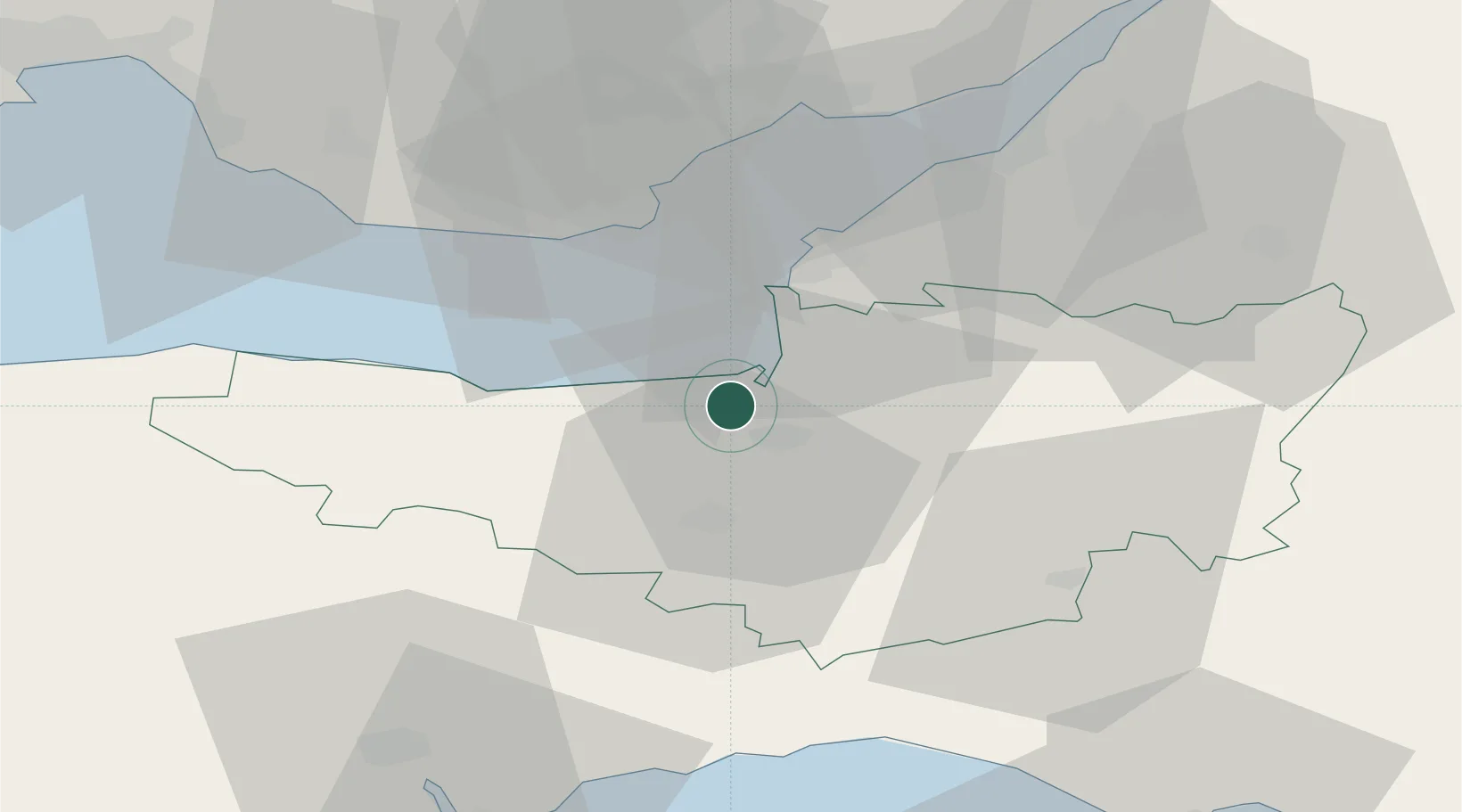
Hub Profile
Place type
Populated place
Region
England
Time zone
Europe/London
Elevation
13 m
Location
Nearby Logistics Neighbours
Cities
- 1Westonzoyland13 km
- 2Stathe17 km
- 3Williton19 km
- 4Lower Weare19 km
- 5Weston-Super-Mare22 km
Ports
- 1Bridgwater6 km
- 2Watchet Harbor19 km
- 3Barry29 km
- 4Cardiff32 km
- 5Newport43 km
Airports
- 1Cardiff International Airport32 km
- 2Bristol Airport34 km
- 3RNAS Yeovilton35 km
- 4MOD St Athan37 km
- 5Exeter International Airport54 km
Trade Zones
DatabookThe Record of Consolidated Knowledge
United Kingdom beyond logistics?