UN/LOCODE hub · United Kingdom
GBLWR
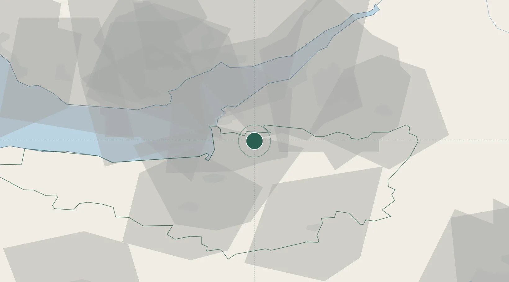
Lower Weare
51.2667°, -2.8500°
325
Population
2
Transport functions
Transport Functions
Road
Multimodal
Hub Profile
Place type
Populated place
Region
England
Population
325
Time zone
Europe/London
Elevation
7 m
Location
Nearby Logistics Neighbours
Cities
- 1Winscombe4 km
- 2Langford9 km
- 3Congresbury11 km
- 4Weston-Super-Mare12 km
- 5Yatton13 km
Ports
- 1Bridgwater18 km
- 2Bristol27 km
- 3Avonmouth28 km
- 4Cardiff30 km
- 5Barry33 km
Airports
- 1Bristol Airport16 km
- 2RNAS Yeovilton32 km
- 3Cardiff International Airport37 km
- 4MOD St Athan43 km
- 5Exeter International Airport71 km
Trade Zones
DatabookThe Record of Consolidated Knowledge
United Kingdom beyond logistics?