UN/LOCODE hub · United Kingdom
GBWNO
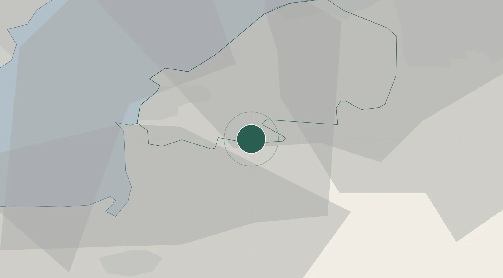
Winscombe
51.3000°, -2.8333°
4,546
Population
2
Transport functions
Transport Functions
Road
Multimodal
Hub Profile
Place type
Populated place
Region
England
Population
4,546
Time zone
Europe/London
Elevation
40 m
Location
Nearby Logistics Neighbours
Cities
- 1Lower Weare4 km
- 2Langford6 km
- 3Congresbury8 km
- 4Yatton9 km
- 5Weston-Super-Mare11 km
Ports
- 1Bridgwater22 km
- 2Bristol23 km
- 3Avonmouth24 km
- 4Cardiff29 km
- 5Newport30 km
Airports
- 1Bristol Airport12 km
- 2RNAS Yeovilton35 km
- 3Cardiff International Airport37 km
- 4MOD St Athan43 km
- 5Exeter International Airport75 km
Trade Zones
DatabookThe Record of Consolidated Knowledge
United Kingdom beyond logistics?