Channel & Berth Profile
Pilotage, Tugs & Services
Pilotage compulsoryYES
Pilotage availableYES
Pilotage advisableYES
Local assistanceYES
Tug assistanceYES
Shore powerYES
Potable waterYES
Diesel bunkersYES
MedicalYES
Garbage disposalYES
Facilities & Capabilities
Container—
Ro-Ro—
Liquid bulk—
Dry bulk—
Oil terminal—
Break bulk—
Dry dock—
RepairsNO
BunkeringYES
Rail linkYES
Dangerous cargo—
ISPS security—
Harbour Specifications
Harbour size
Medium
Harbour type
Coastal (Tide Gates)
Shelter
Excellent
Water body
Bristol Channel; North Atlantic Ocean
Tidal range
10 m
Overhead limit
Yes
Pilotage
Yes
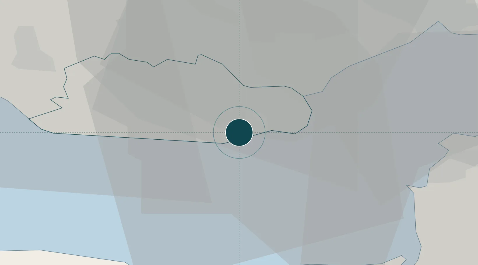
Location
Nearby Logistics Neighbours
Ports
- 1Cardiff9 km
- 2Watchet Harbor25 km
- 3Newport26 km
- 4Bird Port28 km
- 5Bridgwater35 km
Cities
- 1Barry1 km
- 2Penarth8 km
- 3Cardiff15 km
- 4Trefforest21 km
- 5Treforest21 km
Airports
- 1Cardiff International Airport5 km
- 2MOD St Athan12 km
- 3Bristol Airport38 km
- 4Swansea Airport60 km
- 5RNAS Yeovilton62 km
Trade Zones
DatabookThe Record of Consolidated Knowledge
United Kingdom beyond logistics?