Large airport · United Kingdom
Bristol AirportEGGD
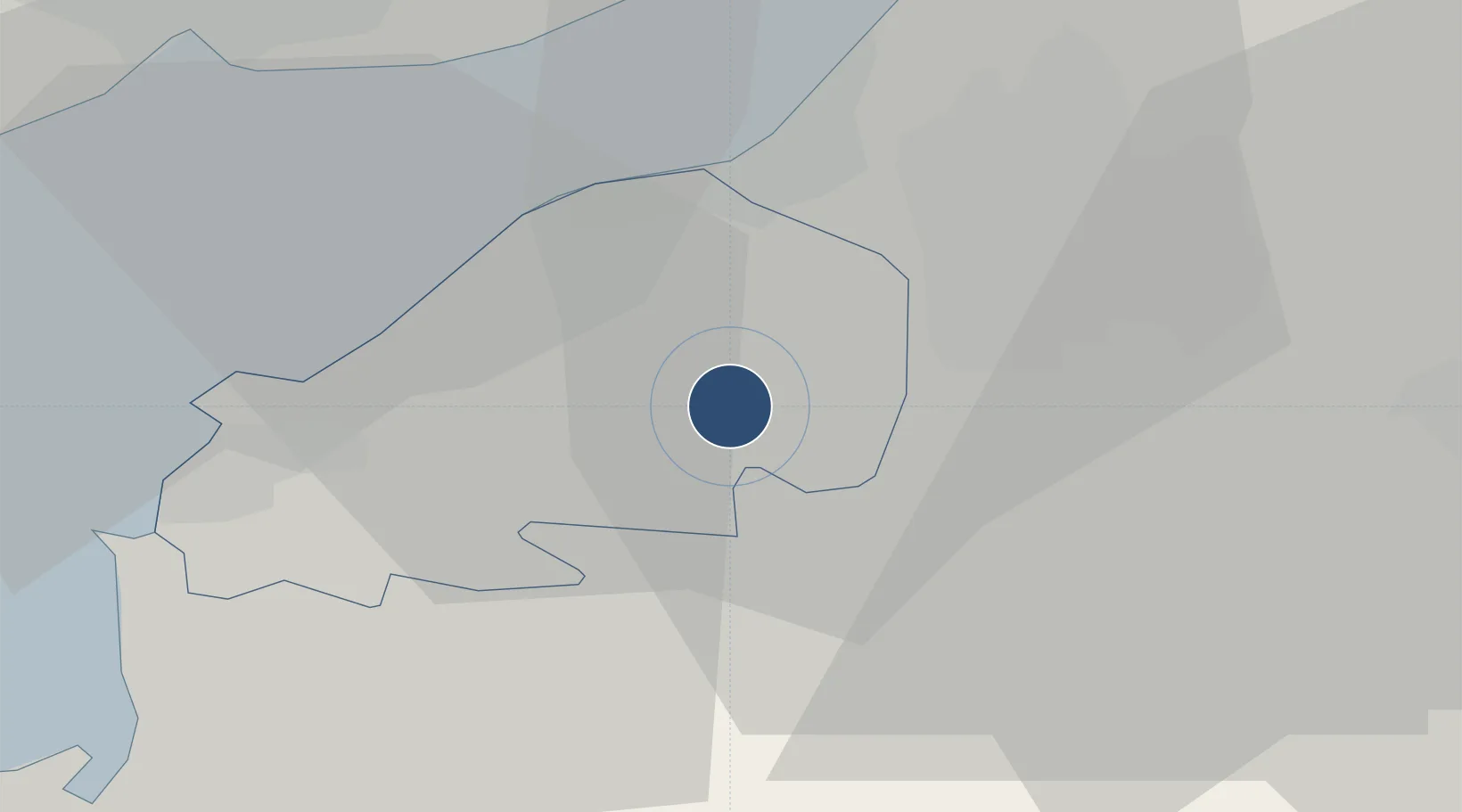
51.3823°, -2.7165°
6,597 ft
Longest runway
1
Runways
622 ft
Elevation
Runway & Layout

Radio Frequencies
ATIS
126.025 MHz
TWR
133.85 MHz
GND
121.925 MHz
RDR
136.075 MHz
Navaids
BRI NDB Bristol 414 kHz
Runways · 1
| Runway | Dimensions | Surface | True heading | Lit |
|---|---|---|---|---|
| 09/27 | 6,597 × 148ft | Asphalt | 086° | ✓ |
Airport Specifications
IATA code
BRS
ICAO code
EGGD
Airport class
Large airport
Scheduled service
Yes
Runway surface
Asphalt
Served city
Bristol
Location
Nearby Logistics Neighbours
Airports
- 1RNAS Yeovilton42 km
- 2Cardiff International Airport44 km
- 3MOD St Athan50 km
- 4Gloucestershire Airport68 km
- 5MoD Boscombe Down72 km
Cities
- 1Bristol6 km
- 2Langford7 km
- 3Yatton7 km
- 4Congresbury7 km
- 5Clevedon10 km
Trade Zones
DatabookThe Record of Consolidated Knowledge
United Kingdom beyond logistics?