Channel & Berth Profile
Pilotage, Tugs & Services
Pilotage compulsoryYES
Pilotage availableYES
Pilotage advisableYES
Local assistanceYES
Tug assistanceNO
Salvage tugsNO
Potable waterYES
Diesel bunkersYES
Garbage disposalYES
Facilities & Capabilities
Container—
Ro-Ro—
Liquid bulk—
Dry bulk—
Oil terminal—
Break bulk—
Dry dock—
RepairsNO
BunkeringYES
Rail linkYES
Dangerous cargo—
ISPS security—
Harbour Specifications
Harbour size
Very Small
Harbour type
Coastal (Breakwater)
Shelter
Fair
Water body
Bristol Channel; North Atlantic Ocean
Tidal range
7 m
Pilotage
Yes
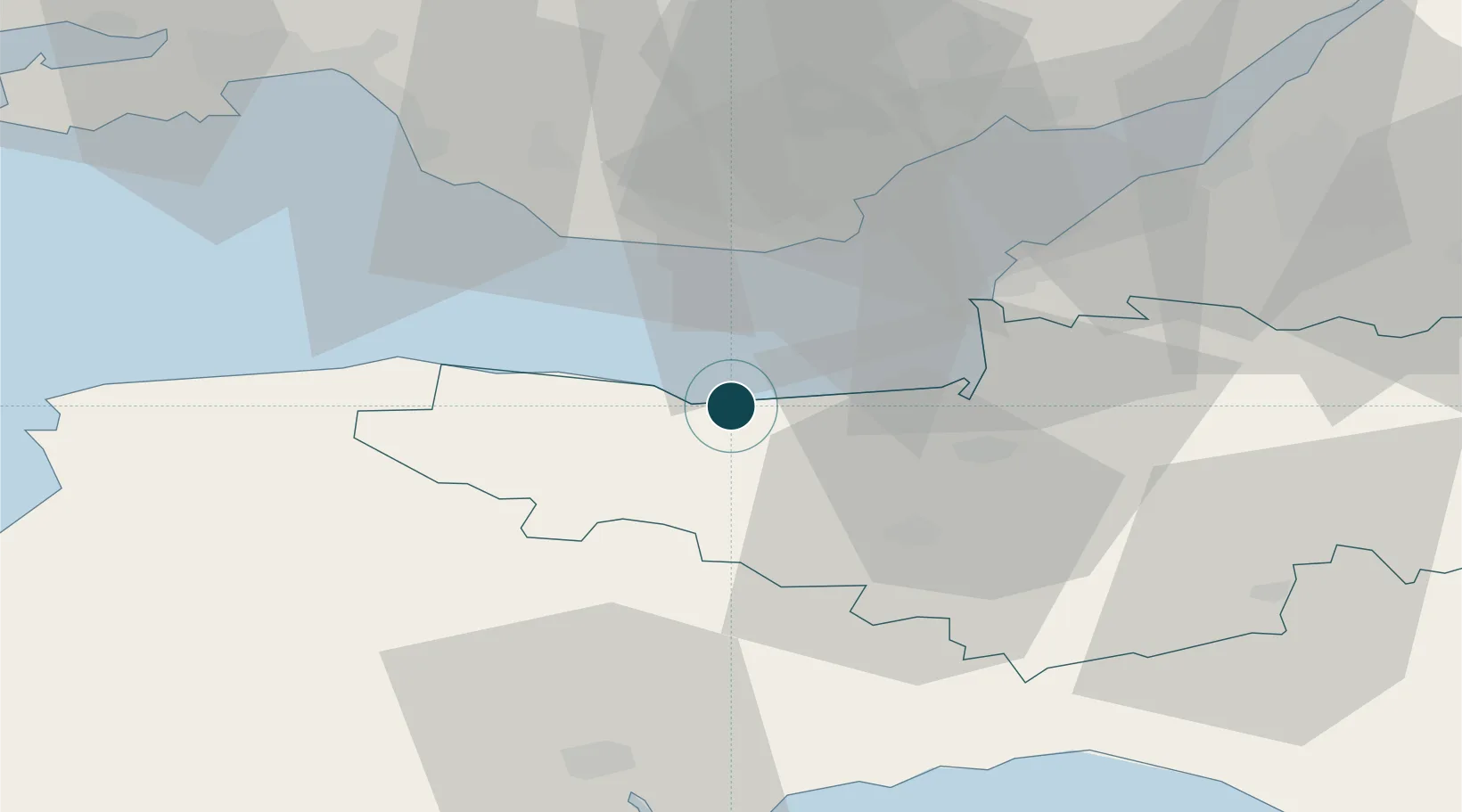
Location
Nearby Logistics Neighbours
Ports
- 1Bridgwater24 km
- 2Barry25 km
- 3Cardiff32 km
- 4Newport48 km
- 5Bird Port50 km
Cities
- 1Williton2 km
- 2Porlock6 km
- 3Dunster7 km
- 4Minehead10 km
- 5Luxborough12 km
Airports
- 1Cardiff International Airport24 km
- 2MOD St Athan26 km
- 3Bristol Airport48 km
- 4Exeter International Airport50 km
- 5RNAS Yeovilton52 km
Trade Zones
DatabookThe Record of Consolidated Knowledge
United Kingdom beyond logistics?