Economic Revitalization Project · United Kingdom

Ceramics Valley Active
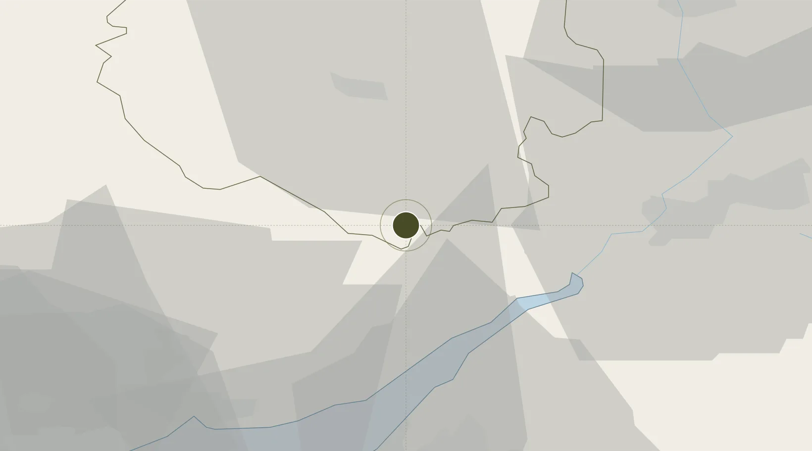
51.8543°, -2.6516°
240 ha
Zone area
19.2 km
Nearest port
33.5 km
Nearest airport

Gateway access

Nearest neighbours — logibook spatial index (haversine) over the source coordinates

Zone profile

Zone type
Economic Revitalization Project
Open Zone Map
Region
Herefordshire
Open Zone Map
Status
Active
Open Zone Map
Management
Private
Open Zone Map
Operator
Constellation Partnership
Open Zone Map
Legal framework
Local Government, Planning and Land Act 1980
Open Zone Map

Location

Location of ozm-4705
Natural Earth 10m (public domain) · Herefordshire · ozm-4705 · 51.85, -2.65GoogleOSMYandex

Nearby Logistics Neighbours

Ports
  1. 1Sharpness19 km
  2. 2Bird Port39 km
  3. 3Avonmouth40 km
  4. 4Newport41 km
  5. 5Bristol43 km
Nearest neighbours — logibook spatial index (haversine) over the source coordinates
Airports
  1. 1Gloucestershire Airport34 km
  2. 2Bristol Airport53 km
  3. 3RAF Fairford62 km
  4. 4Cardiff International Airport70 km
  5. 5MOD St Athan74 km
Nearest neighbours — logibook spatial index (haversine) over the source coordinates
Cities
  1. 1Llangarron3 km
  2. 2Ruardean8 km
  3. 3Westbury on Severn17 km
  4. 4Woolaston18 km
  5. 5Lydney18 km
Nearest neighbours — logibook spatial index (haversine) over the source coordinates
Trade Zones
  1. 1Hereford Enterprise Zone20 km
  2. 2Bristol Temple Quarter Enterprise Zone45 km
  3. 3Birmingham City Centre Enterprise Zone86 km
  4. 4Black Country Enterprise Zone88 km
  5. 5Science Vale Oxfordshire Enterprise Zone97 km
Nearest neighbours — logibook spatial index (haversine) over the source coordinates
DatabookThe Record of Consolidated Knowledge
United Kingdom beyond logistics?
Browse databook

All Sources

Trade ZonesOpen Zone Map
CC BY
Portsthe NGA World Port Index
Public domain (US gov)
AirportsOurAirports
Public domain
LocationsUN/LOCODE
UN/LOCODE — free
← United Kingdom trade zones