Large airport · United Kingdom

Cardiff International AirportEGFF
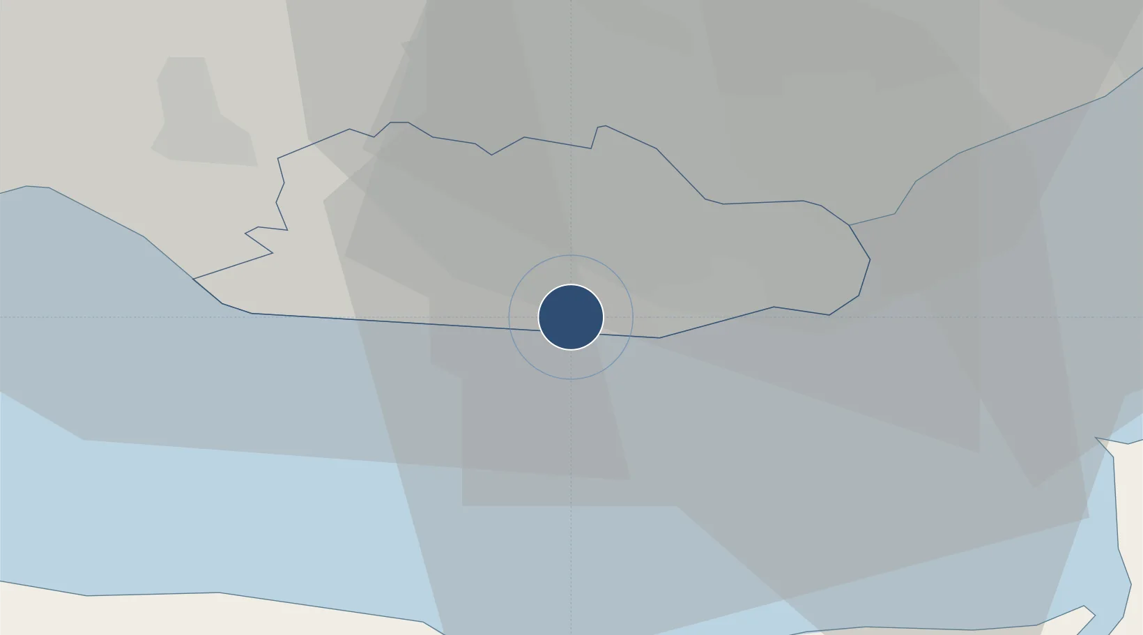
51.3967°, -3.3433°
7,723 ft
Longest runway
1
Runways
220 ft
Elevation

Runway & Layout

Cardiff International Airport runway & taxiway layout
Runway & taxiway layout — OpenStreetMap (ODbL) / OurAirports

Radio Frequencies

ATIS
132.48 MHz
TWR
133.105 MHz
Cardiff Tower
APP
119.155 MHz
Cardiff Approach
APP
125.855 MHz
Cardiff Radar
Area Control
133.6 MHz
Cardiff Radar
FIRE
121.6 MHz
Cardiff Fire
OurAirports

Runways · 1

RunwayDimensions SurfaceTrue headingLit
12/30 7,723 × 148ft Asphalt 117°
OurAirports

Airport Specifications

IATA code
CWL
OurAirports
ICAO code
EGFF
OurAirports
Airport class
Large airport
OurAirports
Scheduled service
Yes
OurAirports
Runway surface
Asphalt
OurAirports
Served city
Cardiff
OurAirports

Location

Location of EGFF
Natural Earth 10m (public domain) · Vale of Glamorgan · EGFF · 51.40, -3.34GoogleOSMYandex

Nearby Logistics Neighbours

Airports
  1. 1MOD St Athan6 km
  2. 2Bristol Airport44 km
  3. 3Swansea Airport55 km
  4. 4RNAS Yeovilton65 km
  5. 5Royal Marines Base Chivenor66 km
Nearest neighbours — logibook spatial index (haversine) over the source coordinates
Cities
  1. 1Barry7 km
  2. 2Barry Dock7 km
  3. 3Penarth13 km
  4. 4Cardiff20 km
  5. 5Trefforest21 km
Nearest neighbours — logibook spatial index (haversine) over the source coordinates
Ports
  1. 1Barry5 km
  2. 2Cardiff14 km
  3. 3Watchet Harbor24 km
  4. 4Newport30 km
  5. 5Bird Port32 km
Nearest neighbours — logibook spatial index (haversine) over the source coordinates
Trade Zones
  1. 1Bristol Temple Quarter Enterprise Zone53 km
  2. 2Ceramics Valley70 km
  3. 3Exeter & East Devon Enterprise Zone74 km
  4. 4Hereford Enterprise Zone85 km
  5. 5Dorset Innovation Park110 km
Nearest neighbours — logibook spatial index (haversine) over the source coordinates
DatabookThe Record of Consolidated Knowledge
United Kingdom beyond logistics?
Browse databook

All Sources

AirportsOurAirports
Public domain
Portsthe NGA World Port Index
Public domain (US gov)
LocationsUN/LOCODE
UN/LOCODE — free
Trade Zonesthe World Bank SEZ database
CC BY 4.0
Trade ZonesOpen Zone Map
CC BY
InfrastructureOpenStreetMap
ODbL 1.0
← United Kingdom airports