Transport Functions
Port
Road
Multimodal
Hub Profile
Place type
Populated place
Region
England
Population
825
Time zone
Europe/London
Elevation
139 m
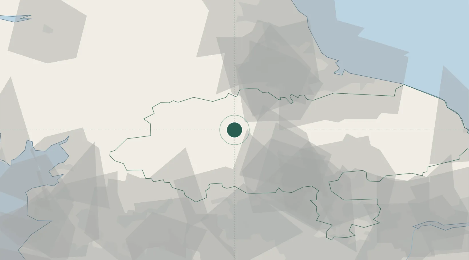
Location
Nearby Logistics Neighbours
Cities
- 1Hackforth14 km
- 2Moulton20 km
- 3Buckden22 km
- 4Melsonby24 km
- 5Kirkbymoorside25 km
Ports
- 1Teesport59 km
- 2Hartlepool61 km
- 3Seaham69 km
- 4Lancaster69 km
- 5Sunderland76 km
Airports
- 1RAF Leeming17 km
- 2RAF Topcliffe29 km
- 3Teesside International Airport35 km
- 4Leeds Bradford Airport47 km
- 5Leeds East Airport64 km
Trade Zones
DatabookThe Record of Consolidated Knowledge
United Kingdom beyond logistics?