Transport Functions
Port
Road
Multimodal
Hub Profile
Place type
Populated place
Region
England
Time zone
Europe/London
Elevation
111 m
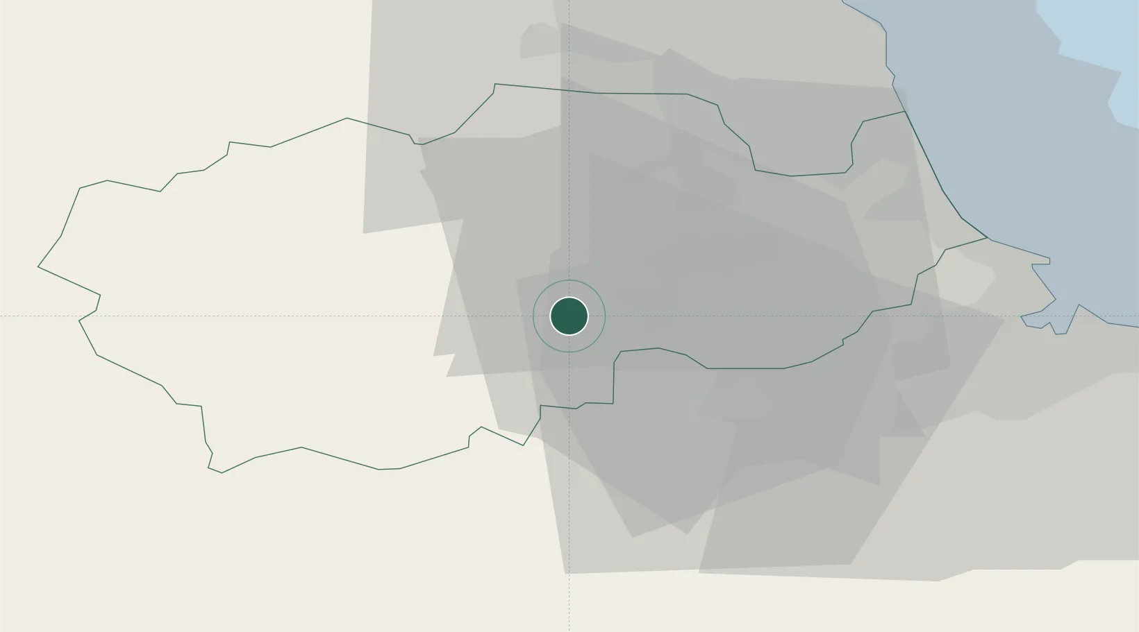
Location
Nearby Logistics Neighbours
Cities
- 1Crook7 km
- 2Chilton12 km
- 3Brandon15 km
- 4Melsonby17 km
- 5Darlington18 km
Ports
- 1Seaham35 km
- 2Hartlepool36 km
- 3Teesport39 km
- 4Sunderland39 km
- 5Tynemouth46 km
Airports
- 1Teesside International Airport24 km
- 2RAF Leeming39 km
- 3Newcastle International Airport45 km
- 4RAF Topcliffe53 km
- 5RAF Spadeadam70 km
Trade Zones
DatabookThe Record of Consolidated Knowledge
United Kingdom beyond logistics?